Florida's Turnpike
Videos
Page
Florida's Turnpike, designated as unsigned State Road 91, is a controlled-access toll road in the U.S. state of Florida, maintained by Florida's Turnpike Enterprise (FTE). Spanning approximately 309 miles (497 km) along a northwest–southeast axis, the turnpike is in two sections. The SR 91 mainline runs roughly 265 miles (426 km), from its southern terminus at an interchange with Interstate 95 (I-95) in Miami Gardens to an interchange with I-75 in Wildwood at its northern terminus. The Homestead Extension of Florida's Turnpike continues from the southern end of the mainline for another 48 miles (77 km) to US Highway 1 in Florida City. The slogan for the road is "The Less Stressway". The mainline opened in stages between 1957 and 1964, while the extension was completed in 1974. The turnpike runs through Miami, Fort Lauderdale, and West Palm Beach, where it parallels I-95, and through Orlando, where it crosses I-4.
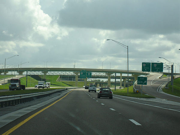
Florida's Turnpike southbound at the interchange with SR 429 in Ocoee, Exit 267A
Northern terminus at I-75 near Wildwood in January 2012.
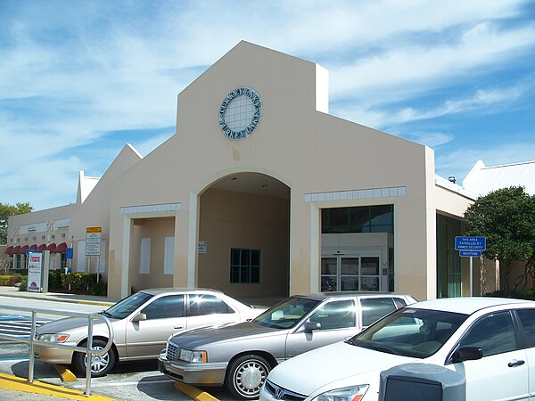
Turkey Lake Plaza before its 2012 reconstruction

Looking northbound at Florida's Turnpike as seen from the shoulder of Old County Road 50 near Clermont, at mile 276
Unsigned highway
Videos
Page
An unsigned highway is a highway that has been assigned a route number, but does not bear road markings that would conventionally be used to identify the route with that number. Highways are left unsigned for a variety of reasons, and examples are found throughout the world. Depending on the policy of the agency that maintains the highway, and the reason for not signing the route, the route may instead be signed a different designation from its actual number, with small inventory markers for internal use, or with nothing at all.
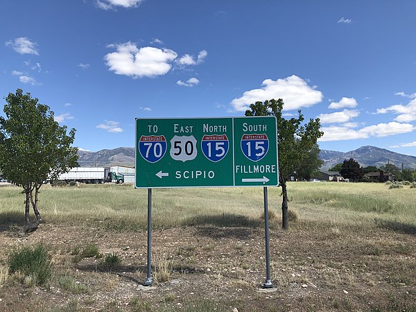
Sign at the junction of U.S. Route 50 with Utah State Route 64 in Holden, Utah. SR 64 is a short connector between US 50 and Interstate 15. This sign emphasizes the connection to the freeway, omitting the actual numbered designation of the road.
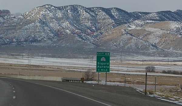
Road sign along Interstate 70 in Utah signaling traffic destined for the towns of Sigurd and Aurora to exit the freeway. The road at this exit is officially designated SR 259, a short connector; however, the sign instead shows SR 24, the highway at the other end of the connector.