State Road 60, or Route 60 is an east–west route transversing Florida from the Gulf of Mexico to the Atlantic Ocean. The western terminus of SR 60 is at the Sunsets at Pier 60 site in Clearwater Beach. The eastern terminus is in Vero Beach near the Atlantic Coast just past State Road A1A.
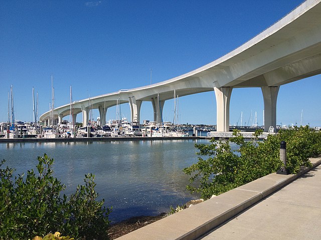
Clearwater Memorial Causeway Bridge viewed from the southeast corner of the bridge
SR60 between the Florida State Road 616/Tampa International Airport interchange (bottom left) and Interstate 275 (upper right
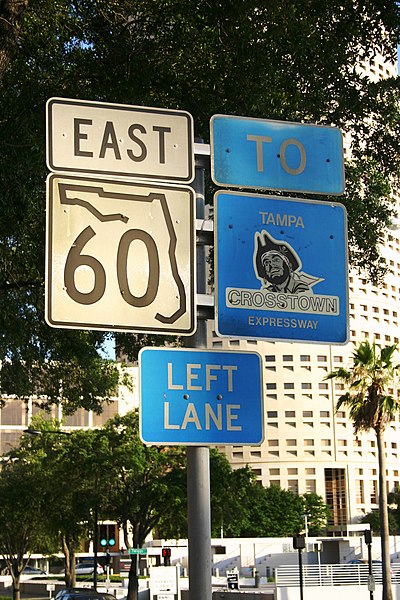
A Florida State Road 60 sign on Kennedy Boulevard in Tampa, with an older Crosstown Expressway sign alongside.
Concurrent US98/SR60 (eastbound) in Bartow approaching their split
Clearwater Beach includes a resort area and a residential area on a barrier island in the Gulf of Mexico in Pinellas County on the west-central coast of Florida, United States. Located just west over the Intracoastal Waterway by way of the Clearwater Memorial Causeway from the rest of the city of Clearwater, Florida, of which it is part, Clearwater Beach is at a geographic latitude of 27.57 N and longitude 82.48 W.
Sunset on Clearwater Beach
North Clearwater Beach
Clearwater Beach looking North from Pier 60