Fort Washington (Manhattan)
Fort Washington was a fortified position near the north end of Manhattan Island, at the island's highest point, within the modern-day neighborhood of Washington Heights in New York City. The Fort Washington Site is listed on the National Register of Historic Places.
A View of the Attack against Fort Washington and Rebel Redouts near New York on November 16, 1776 by the British and Hessian Brigades Watercolor by Thomas Davies
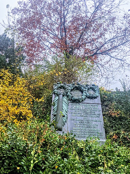
Capt. Molly memorial - Fort Tryon Park
Bennett Park memorial - Fort Washington
The site of Fort Washington in Bennett Park as it appeared in 2011
Washington Heights, Manhattan
Washington Heights is a neighborhood in the northern part of the borough of Manhattan in New York City. It is named for Fort Washington, a fortification constructed at the highest natural point on Manhattan by Continental Army troops to defend the area from the British forces during the American Revolutionary War. Washington Heights is bordered by Inwood to the north along Dyckman Street, by Harlem to the south along 155th Street, by the Harlem River and Coogan's Bluff to the east, and by the Hudson River to the west.
The George Washington Bridge, the world's busiest motor vehicle bridge, crossing the Hudson River with Washington Heights in the background (April 1986)
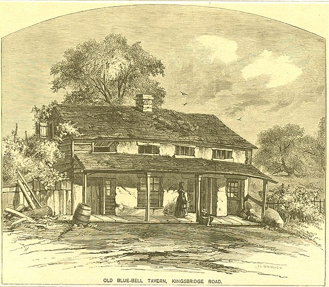
Blue Bell Tavern on Broadway
Paterno Castle
A 1910 photograph of The Riviera at 156th Street and Riverside Drive