Fraser Valley
Videos
Page
The Fraser Valley is a geographical region in southwestern British Columbia, Canada and northwestern Washington State. It starts just west of Hope in a narrow valley encompassing the Fraser River and ends at the Pacific Ocean stretching from the North Shore Mountains, opposite the city of Vancouver BC, to just south of Bellingham, Washington.

Landsat image of Fraser Valley. Sediment deposited by the Fraser River is clearly visible to the west.
Panoramic view of Fraser River and valley as seen from the grounds of Westminster Abbey, above Hatzic in Mission, British Columbia

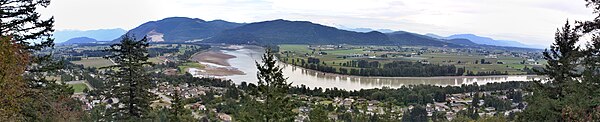
Panoramic view of the Fraser Valley as seen from eastern Abbotsford looking northwest, showing the District of Mission, which lies across the river from this viewpoint
British Columbia
Videos
Page
British Columbia is the westernmost province of Canada. Situated between the Pacific Ocean and the Rocky Mountains, the province has a diverse geography, with rugged landscapes that include rocky coastlines, sandy beaches, forests, lakes, mountains, inland deserts and grassy plains. British Columbia borders the province of Alberta to the east; the territories of Yukon and Northwest Territories to the north; the U.S. states of Washington, Idaho and Montana to the south, and Alaska to the northwest. With an estimated population of over 5.6 million as of 2024, it is Canada's third-most populous province. The capital of British Columbia is Victoria, while the province's largest city is Vancouver. Vancouver and its suburbs together make up the third-largest metropolitan area in Canada, with the 2021 census recording 2.6 million people in Metro Vancouver.
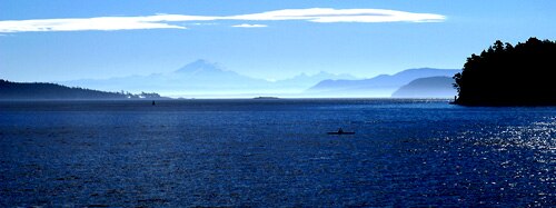
The Strait of Georgia, near Vancouver

Shuswap Lake as seen from Sorrento
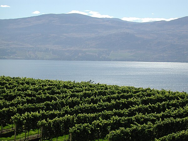
The Okanagan region has a climate suitable for vineyards.

Mount Robson, Canadian Rockies