Gatineau River
Videos
Page
The Gatineau River is a river in western Quebec, Canada, which rises in lakes north of the Baskatong Reservoir and flows south to join the Ottawa River at the city of Gatineau, Quebec. The river is 386 kilometres (240 mi) long and drains an area of 23,700 square kilometres (9,200 sq mi).
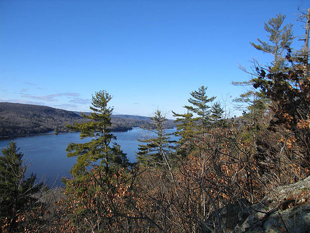
The upper Gatineau River

Draveurs Bridge (highway 50-route 148) crossing Gatineau River (view upstream on October 7, 2018, from Jacques-Cartier street).
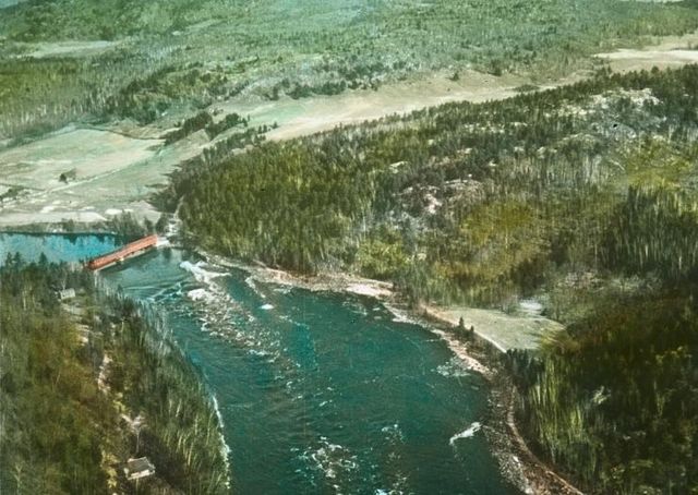
Gatineau River near Farrellton, circa 1930
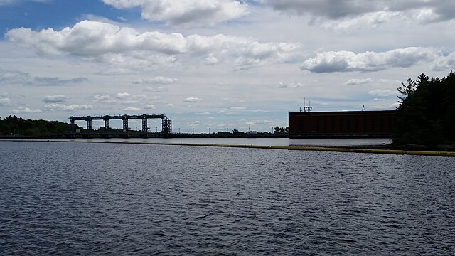
Chelsea Hydroelectric Station and dam
Ottawa River
Videos
Page
The Ottawa River is a river in the Canadian provinces of Ontario and Quebec. It is named after the Algonquin word 'to trade', as it was the major trade route of Eastern Canada at the time. For most of its length, it defines the border between these two provinces. It is a major tributary of the St. Lawrence River and the longest river in Quebec.

The Ottawa River in autumn

In this false-colour satellite image, the Ottawa River flows southeast, joining the St. Lawrence River which flows northeast. Heavily forested areas appear differing shades of orange/red, while farmland is tan shades.
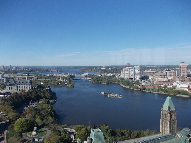
Ottawa River, looking upstream (view from the Peace Tower of Parliament Centre Block)
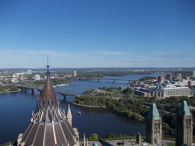
Ottawa River, looking downstream (view from the Peace Tower of Parliament Centre Block)