Gifford Pinchot National Forest
Videos
Page
Gifford Pinchot National Forest is a National Forest located in southern Washington, managed by the United States Forest Service. With an area of 1.32 million acres (5300 km2), it extends 116 km (72 mi) along the western slopes of Cascade Range from Mount Rainier National Park to the Columbia River. The forest straddles the crest of the South Cascades of Washington State, spread out over broad, old growth forests, high mountain meadows, several glaciers, and numerous volcanic peaks. The forest's highest point is at 12,276 ft (3,742 m) at the top of Mount Adams, the second tallest volcano in the state after Rainier. Often found abbreviated GPNF on maps and in texts, it includes the 110,000-acre (450 km2) Mount St. Helens National Volcanic Monument, established by Congress in 1982.
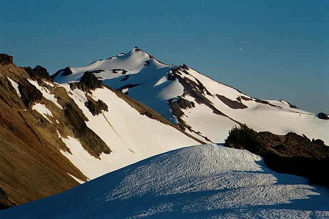
Old Snowy Mountain in Goat Rocks Wilderness
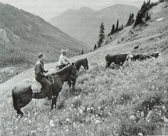
A U.S. Forest Service ranger and cattle grazer permittee on a hillside with cattle in Gifford Pinchot National Forest, Washington in 1949

Lower Falls of the Lewis River
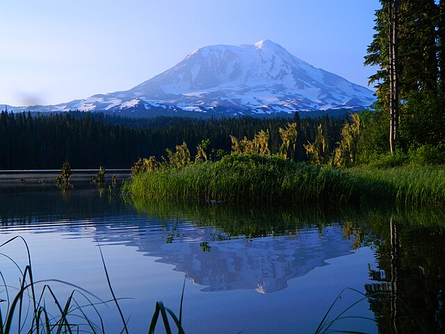
Mount Adams early morning reflection at Takhlakh Lake
Mount Adams (Washington)
Videos
Page
Mount Adams, known by some Native American tribes as Pahto or Klickitat, is a potentially active stratovolcano in the Cascade Range. Although Adams has not erupted in more than 1,000 years, it is not considered extinct. It is the second-highest mountain in Washington, after Mount Rainier.
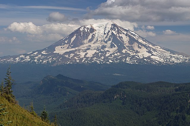
Mount Adams from the west-northwest
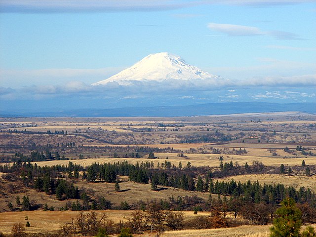
Mount Adams from Wasco County, Oregon
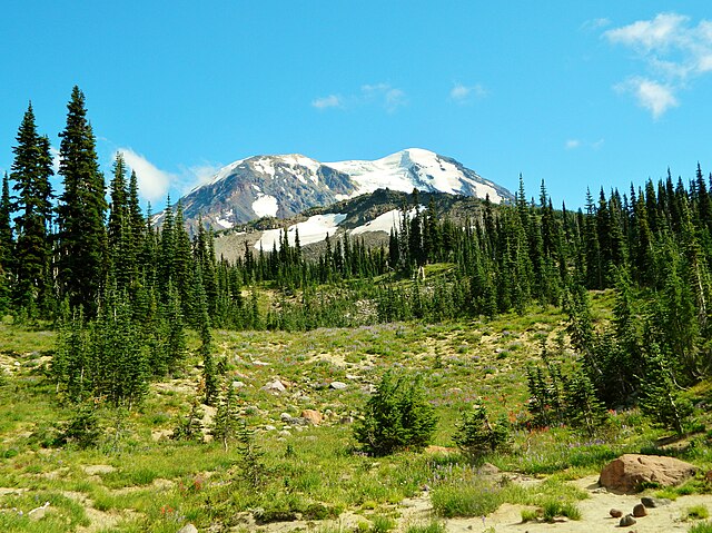
Meadows at Mount Adams Wilderness
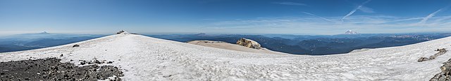
Panoramic view from the relatively flat summit area of Mount Adams, with the center of the image looking due west towards Mount St. Helens. Nine Cascade Volcanoes are visible (not including Adams itself). From left to right: Three Sisters complex, Mount Jefferson, Mount Hood, Mount St. Helens, Mount Rainier, Mount Baker, and Glacier Peak. The Olympic Mountains can be seen between St. Helens and Rainier, nearly 150 miles away.