Gilgandra, New South Wales
Gilgandra is a country town in the Orana region of New South Wales, Australia, and services the surrounding agricultural area where wheat is grown extensively together with other cereal crops, and sheep and beef cattle are raised. Sitting at the junction of the Newell, Oxley and Castlereagh highways, the town is located in a wide bend of the Castlereagh River downstream from its source near Coonabarabran, directly downstream from Mendooran, and upstream from Gulargambone and Coonamble. It is 432 km north-west of Sydney, and is located approximately halfway on the inland route from Melbourne to Brisbane. The town is the administrative seat of the Gilgandra Shire.
It is known as the town of windmills and the home of the 'Coo-ees', and is a gateway to the Warrumbungles National Park.
The main street of Gilgandra
Newell Highway is a national highway in New South Wales (NSW), Australia. It provides the major road link between southeastern Queensland and Victoria via central NSW and as such carries large amounts of freight. At 1,058 kilometres (657 mi) in length, the Newell is the longest highway in NSW, and passes through fifteen local government areas.
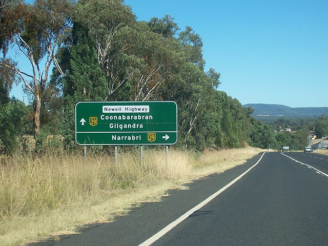
Oxley Highway looking towards the Junction of Newell and Oxley Highways, just east of Coonabarabran, looking south-west.
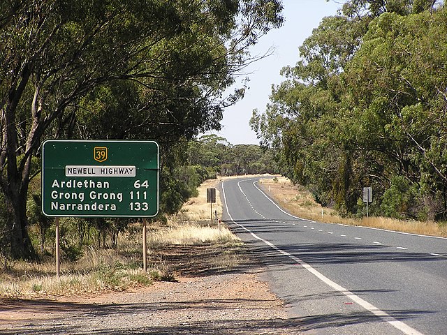
National Route 39, the Newell Highway, in New South Wales, just south of West Wyalong, looking south.