Glossop
Videos
Page
Glossop is a market town in the borough of High Peak, Derbyshire, England, 15 miles (24 km) east of Manchester, 24 miles (39 km) north-west of Sheffield and 32 miles (51 km) north of Matlock. Near Derbyshire's borders with Cheshire, Greater Manchester, South Yorkshire and West Yorkshire, between 150 and 300 metres above sea level, it is bounded by the Peak District National Park to the south, east and north. In 2021, it had a population of 33,340.

Glossop

Victoria Street c. 1920 showing the electric tramway that operated until 1927
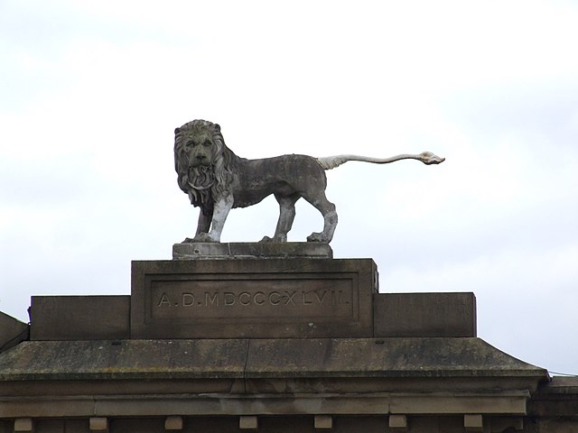
Norfolks' Lion

All Saints' Roman Catholic Chapel
High Peak, Derbyshire
Videos
Page
High Peak is a local government district with borough status in Derbyshire, England, covering a high moorland plateau in the Dark Peak area of the Peak District National Park. The district stretches from Holme Moss in the north to Sterndale Moor in the south, and from Hague Bar in the west to Bamford in the east. The population of the borough taken at the 2011 Census was 90,892. The borough is unusual in having two administrative centres for its council, High Peak Borough Council; the offices are in Buxton and Glossop. Other towns include Chapel-en-le-Frith, Hadfield, New Mills and Whaley Bridge.
Buxton, one of the two administrative centres of High Peak (with Glossop) and the second largest settlement in the borough
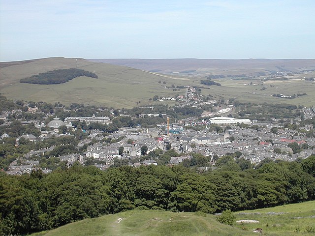
Glossop, the second administrative centre of High Peak and the largest settlement in the borough