Grand Canyon Supergroup
Videos
Page
The Grand Canyon Supergroup is a Mesoproterozoic to a Neoproterozoic sequence of sedimentary strata, partially exposed in the eastern Grand Canyon of Arizona. This group comprises the Unkar Group, Nankoweap Formation, Chuar Group and the Sixtymile Formation, which overlie Vishnu Basement Rocks. Several notable landmarks of the Grand Canyon, such as the Isis Temple and Cheops Pyramid, and the Apollo Temple, are surface manifestations of the Grand Canyon Supergroup.
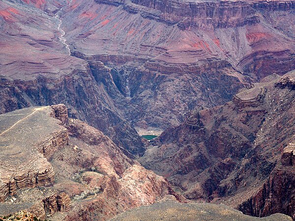
A view looking north. Unkar Group units lying below the Isis Temple/Cheops Pyramid landforms: (3). Shinumo Quartzite cliffs (lower part shown on top of photo), above (2). Hakatai Shale (red-orange-purple slopes), above (1). Bass Formation(finely-layered, dark slopes), sitting on top of (base units). Vishnu Basement Rocks (black stratum) within the Granite Gorge and side canyons.
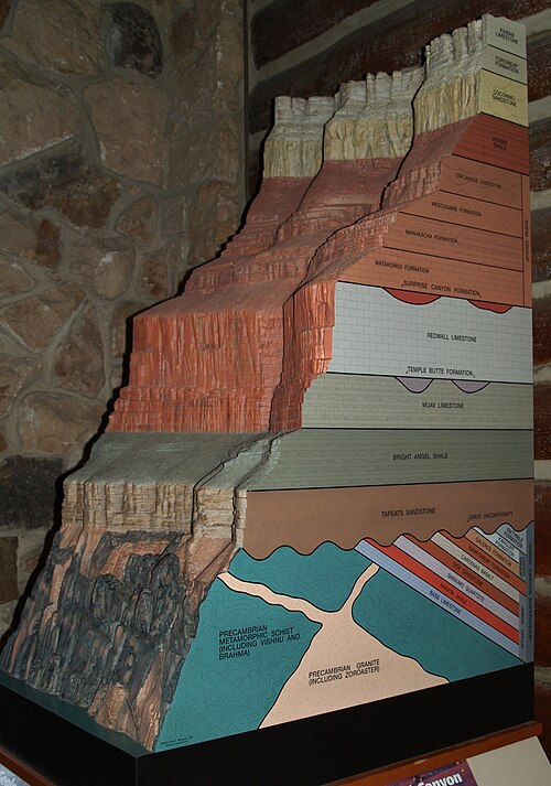
Buried & dipped sections of the 8 named sections of the Grand Canyon Supergroup.
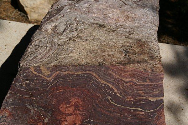
Stromatolite example

Basalt dike in orange-red Hakatai Shale along Colorado River at Hance Rapid, river mile 76.5, Grand Canyon.
Grand Canyon
Videos
Page
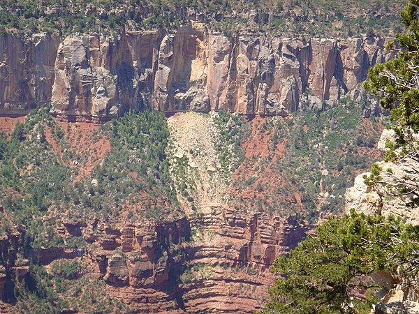
The Grand Canyon is a steep-sided canyon carved by the Colorado River in Arizona, United States. The Grand Canyon is 277 miles (446 km) long, up to 18 miles (29 km) wide and attains a depth of over a mile.

The Colorado River flowing through the Grand Canyon in Arizona
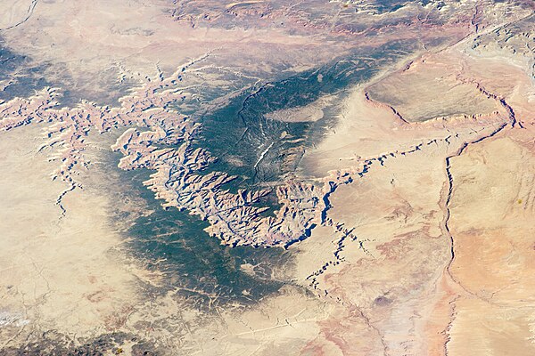
Image of the Grand Canyon and surrounding area taken from the International Space Station
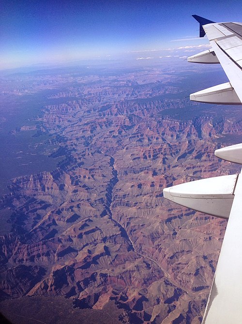
The Grand Canyon from an airplane, with the Colorado River visible
Rockfalls in recent times, along with other mass wasting, have further widened the canyon