The Great Rift Valley is a series of contiguous geographic trenches, approximately 7,000 kilometres (4,300 mi) in total length, that runs from Lebanon in Asia to Mozambique in Southeast Africa. While the name continues in some usages, it is rarely used in geology as it is considered an imprecise merging of separate though related rift and fault systems.
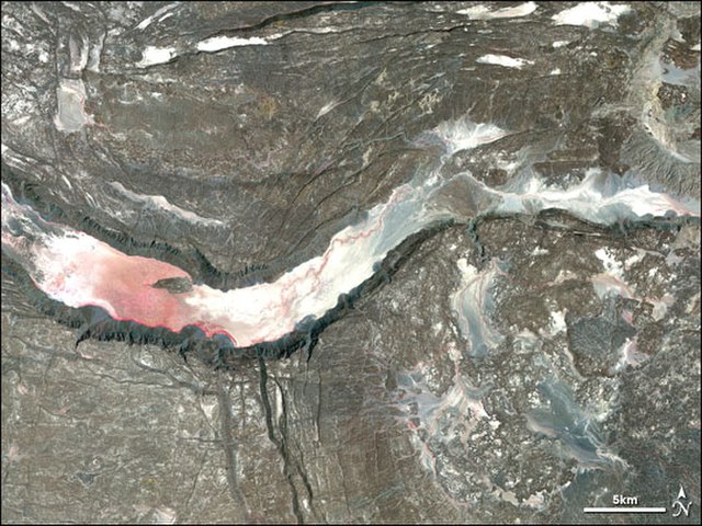
Satellite image of a graben in the Afar Depression
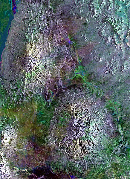
This Envisat radar image captures volcanoes dotted across the landscape in Tanzania, including the distinctive Ol Doinyo Lengai (at lower left), in the Great Rift Valley of East Africa. The Gelai Volcano (2942 m) is visible at the top, and the Kitumbeine volcano
The Red Sea is a sea inlet of the Indian Ocean, lying between Africa and Asia. Its connection to the ocean is in the south, through the Bab-el-Mandeb strait and the Gulf of Aden. To its north lie the Sinai Peninsula, the Gulf of Aqaba, and the Gulf of Suez. It is underlain by the Red Sea Rift, which is part of the Great Rift Valley.
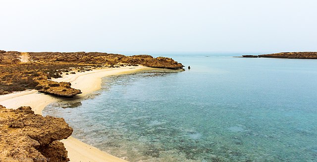
Red Sea coast seen from Farasan Islands
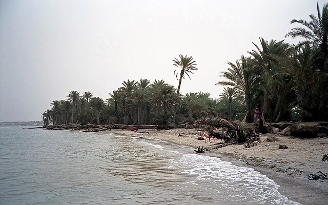
Tihama on the Red Sea near Khaukha, Yemen
Annotated view of the Nile and Red Sea, with a dust storm, viewed from the International Space Station
Dust storm over the Red Sea