Great South Road, New Zealand
Videos
Page
The Great South Road is a major arterial road on the Auckland isthmus and South Auckland. Originally the northern section of the earliest highway between Auckland and Wellington, in the North Island of New Zealand, the road was the main route connecting Auckland to Hamilton. Many former sections of the road have been integrated into the Waikato Expressway. Currently four sections of the road remain: Epsom to Bombay in Auckland, the main street in Pōkeno, the former route of State Highway 1 that links the towns of Huntly, Taupiri, Ngāruawāhia and Horotiu, and the main road in Ōhaupō.

These days, long parts of Great South Road's length are urban or suburban
Auckland isthmus
Videos
Page
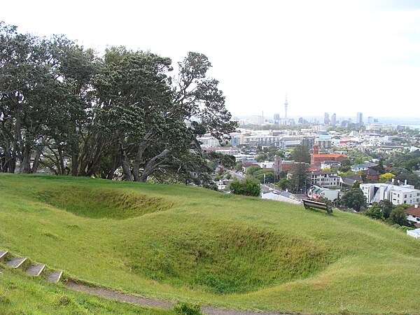
The Auckland isthmus, also known as the Tāmaki isthmus, is a narrow stretch of land on the North Island of New Zealand in the Auckland Region, and the location of the central suburbs of the city of Auckland, including the CBD. The isthmus is located between two rias : the Waitematā Harbour to the north, which opens to the Hauraki Gulf / Tīkapa Moana and Pacific Ocean, and the Manukau Harbour to the south, which opens to the Tasman Sea. The isthmus is the most southern section of the Northland Peninsula.

The Auckland isthmus seen from the International Space Station in 2019

Almorah Rock Forest, an ecosystem that once covered much of the Auckland isthmus (pictured: lava rock forest remnant at Withiel Thomas Reserve, Newmarket)

Wetlands and swamps surrounded by Cordyline australis (cabbage trees / tī kōuka) formed in many of the unforested areas of the isthmus (pictured: Cabbage Tree Swamp in Sandringham, circa 1910)
Kūmara (sweet potato) was widely grown on the isthmus during the pre-European period, and stored in rua kūmara (storehouses) (pictured: storehouse pit remnants on Ōhinerau)