The Guadalupe River runs from Kerr County, Texas, to San Antonio Bay on the Gulf of Mexico, with an average temperature of 17.75 degrees Celsius. It is a popular destination for rafting, fly fishing, and canoeing. Larger cities along it include Kerrville, New Braunfels, Seguin, Gonzales, Cuero, and Victoria. It has several dams along its length, the most notable of which, Canyon Dam, forms Canyon Lake northwest of New Braunfels.
A bluff at Guadalupe River State Park
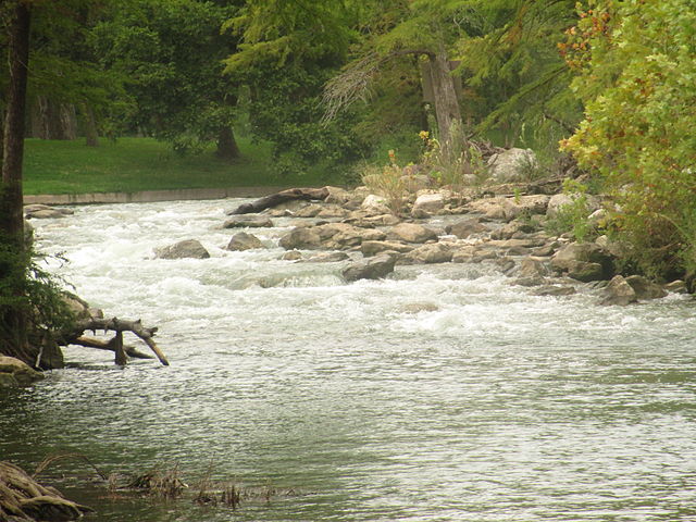
The Guadalupe River in Kerr County, Texas, USA (8 May 2014).
The Guadalupe River in Gruene
The Guadalupe River near Hunt
San Antonio Bay is a bay on the Texas Gulf Coast situated between Matagorda and Aransas Bay. It consists mainly of the combined waters of the San Antonio and Guadalupe rivers, and is located at the mouth of the Guadalupe River, about 55 miles (89 km) northeast of Corpus Christi and 130 miles (209 km) southeast of San Antonio. It is protected from the Gulf of Mexico by Matagorda Island, leaving only relatively small and distant outlets to the Gulf for little mixing of bay and Gulf waters. The remoteness of the bay has prevented the establishment of major ports as seen on Aransas Bay and Corpus Christi Bay, to the south.
The shore of San Antonio Bay
View from the International Space Station
Ayres Bay (orange), Espiritu Santo Bay (red), Guadalupe Bay (cyan), Hynes Bay (blue violet), Mission Lake (pink), Pringle Lake (brown), San Antonio Bay (green)