Hauraki Gulf
Videos
Page
The Hauraki Gulf / Tīkapa Moana is a coastal feature of the North Island of New Zealand. It has an area of 4000 km2, and lies between, in anticlockwise order, the Auckland Region, the Hauraki Plains, the Coromandel Peninsula, and Great Barrier Island. Most of the gulf is part of the Hauraki Gulf Marine Park.
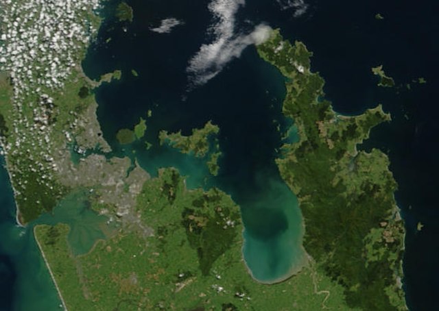
True-colour image showing the Hauraki Gulf / Tīkapa Moana, with Auckland (left) and the Coromandel Peninsula (right), by NASA's Terra satellite, 2002.

Sunset view of The Noises viewed from Waiheke Island

Farmland and native bush on Ponui Island
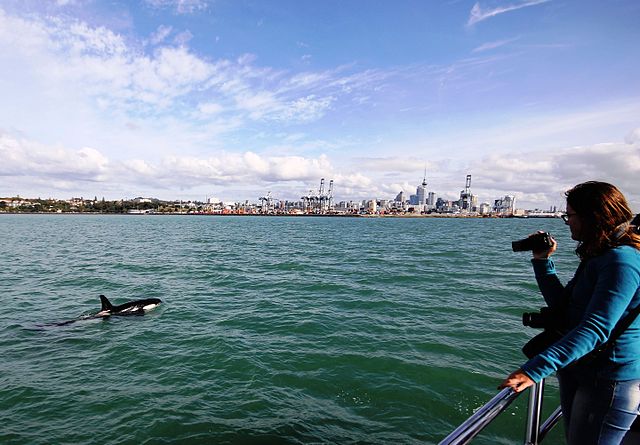
An orca swims in Waitematā Harbour, with Auckland CBD in the background.
North Island
Videos
Page
The North Island, also officially named Te Ika-a-Māui, is one of the two main islands of New Zealand, separated from the larger but less populous South Island by Cook Strait. With an area of 113,729 km2 (43,911 sq mi), it is the world's 14th-largest island, constituting 43% of New Zealand's land area. It has a population of 3,997,300, which is 77% of New Zealand's residents, making it the most populous island in Polynesia and the 28th-most-populous island in the world.

North Island
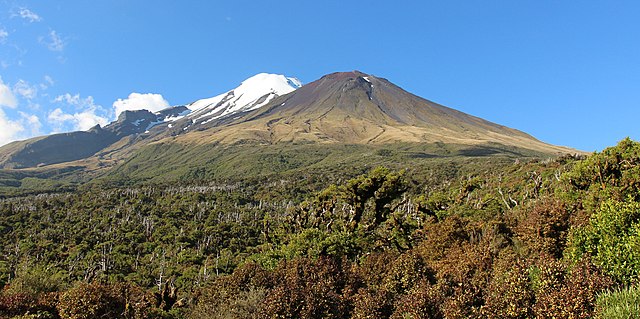
Egmont National Park

Tongariro National Park