Holy Island, Anglesey
Videos
Page
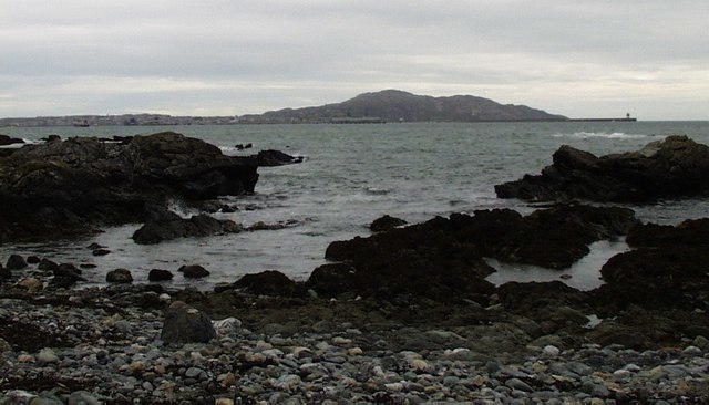
Holy Island is an island on the western side of the larger Isle of Anglesey, Wales, from which it is separated by the Cymyran Strait. It is called "Holy" because of the high concentration of standing stones, burial chambers, and other religious sites on the small island. The alternative English name of the island is Holyhead Island. According to the 2011 UK Census, the population was 13,659, of whom 11,431 (84%) lived in the largest town, Holyhead.

Ty Mawr standing stone, Holyhead
Holyhead Mountain
Cybi
Videos
Page
Saint Cybi (Welsh), or Cuby (Cornish), was a 6th-century Cornish bishop, saint, and, briefly, king, who worked largely in Cornwall and North Wales: his biography is recorded in two slightly variant medieval 'lives'.

Mural of Cybi in Holyhead, Anglesey by artist Gary Drostle