Hudson Valley
Videos
Page
The Hudson Valley comprises the valley of the Hudson River and its adjacent communities in the U.S. state of New York. The region stretches from the Capital District including Albany and Troy south to Yonkers in Westchester County, bordering New York City.

Image: Brunswick Autumn

Image: Downtown Ossining, NY (2)

Image: Hudson river from bear mountain bridge

Image: United States Military Academy 11 1 2008 crop
Hudson River
Videos
Page
The Hudson River is a 315-mile (507 km) river that flows from north to south primarily through eastern New York, United States. It originates in the Adirondack Mountains of upstate New York at Henderson Lake in the town of Newcomb, and flows southward through the Hudson Valley to the New York Harbor between New York City and Jersey City, eventually draining into the Atlantic Ocean at Upper New York Bay. The river serves as a physical boundary between the states of New Jersey and New York at its southern end. Farther north, it marks local boundaries between several New York counties. The lower half of the river is a tidal estuary, deeper than the body of water into which it flows, occupying the Hudson Fjord, an inlet that formed during the most recent period of North American glaciation, estimated at 26,000 to 13,300 years ago. Even as far north as the city of Troy, the flow of the river changes direction with the tides.
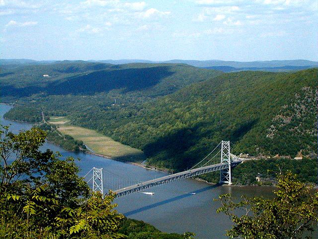
Bear Mountain Bridge across the Hudson River as seen from Bear Mountain in New York state

The Hudson River flowing out of Henderson Lake in Tahawus
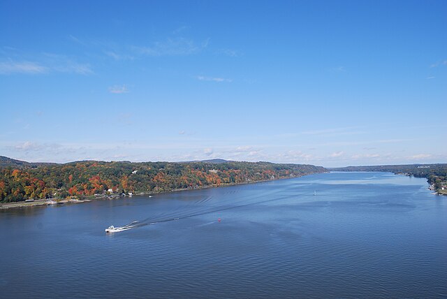
The river from Poughkeepsie, looking north.
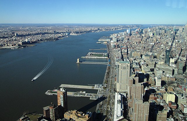
The river between Hudson Waterfront in New Jersey (left) and Manhattan (right)