Illinois Waterway
Videos
Page
The Illinois Waterway system consists of 336 miles (541 km) of navigable water from the mouth of the Calumet River at Chicago to the mouth of the Illinois River at Grafton, Illinois. Based primarily on the Illinois River, it is a system of rivers, lakes, and canals that provide a shipping connection from the Great Lakes to the Gulf of Mexico via the Illinois and Mississippi rivers.

The Illinois Waterway at Starved Rock Lock and Dam

T. J. O’Brien Lock and Dam on the Calumet River, part of the Illinois Waterway
Calumet River
Videos
Page
The Calumet River is a system of heavily industrialized rivers and canals in the region between the south side of Chicago, Illinois, and the city of Gary, Indiana. Historically, the Little Calumet River and the Grand Calumet River were one, the former flowing west from Indiana into Illinois, then turning back east to its mouth at Lake Michigan at Marquette Park in Gary. Now the system is part of the Chicago Area Waterway System and through the use of locks flows away from Lake Michigan to the Cal-Sag Channel.
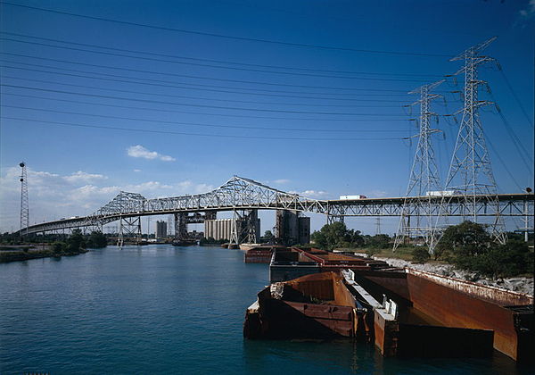
The Calumet River, with the Chicago Skyway traversing it

Residents boat through floodwaters of the Little Calumet in Munster in September 2008

Calumet Sag Channel, Blue Island