Interstate 280 (California)
Videos
Page
Interstate 280 (I-280) is a 57.22-mile-long (92.09 km) major north–south auxiliary Interstate Highway in the San Francisco Bay Area of Northern California. It runs from I-680 and US Route 101 (US 101) in San Jose to King and 5th streets in San Francisco, running just to the west of the larger cities of San Francisco Peninsula for most of its route.

Aerial view of I-280 in San Jose, looking northeast toward the Joe Colla Interchange (I-680/US 101) in the distance

I-280 near Stanford University

A view of the scenic portion of I-280

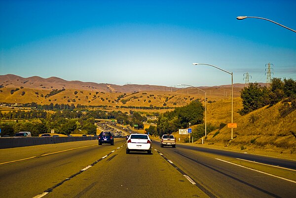
Cars driving near Page Mill Road on I-280
Interstate 680 (California)
Videos
Page
Interstate 680 (I-680) is a north–south auxiliary Interstate Highway in Northern California. It curves around the eastern cities of the San Francisco Bay Area from San Jose to I-80 at Fairfield, bypassing cities along the eastern shore of San Francisco Bay such as Oakland and Richmond while serving others more inland such as Pleasanton and Concord.

Southbound at SR 4, with Mount Diablo on the left

Pleasant Hill, Concord, Martinez, and Vallejo aerial looking north, with I-680, the EBMUD Trail, the Walnut Creek, and the bridges over the Carquinez Strait. I-680 roughly parallels the Walnut Creek (the orange channel) from Walnut Creek to the Carquinez Strait.
Descending from Mission Pass northbound