Interstate 580 (California)
Videos
Page
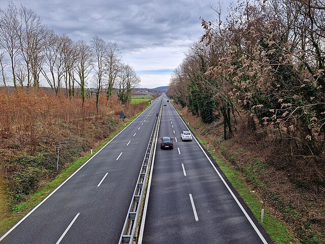
Interstate 580 (I-580) is an approximately 76-mile-long (122 km) east–west auxiliary Interstate Highway in Northern California. The heavily traveled spur route of I-80 runs from US Route 101 (US 101) in San Rafael in the San Francisco Bay Area to I-5 at a point outside the southern city limits of Tracy in the Central Valley. I-580 forms a concurrency with I-80 between Albany and Oakland, the latter of which is the location of the MacArthur Maze interchange immediately east of the San Francisco–Oakland Bay Bridge. I-580 provides a connection from the Bay Area to the southern San Joaquin Valley and Southern California via I-5, as I-5 bypasses the Bay Area to the east.
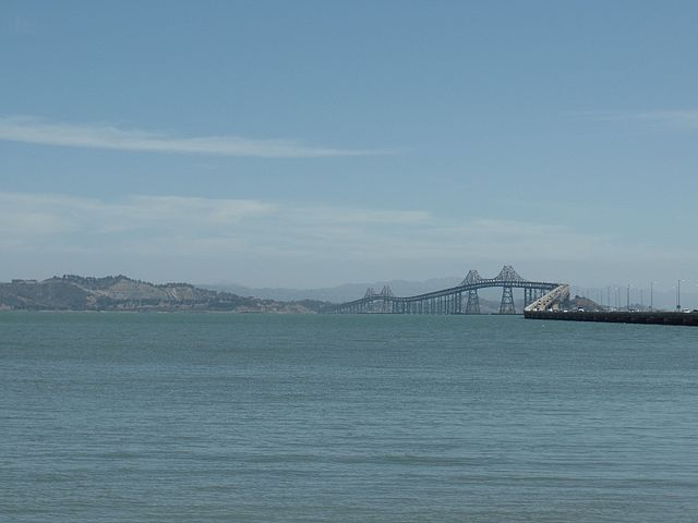
On the Richmond–San Rafael Bridge
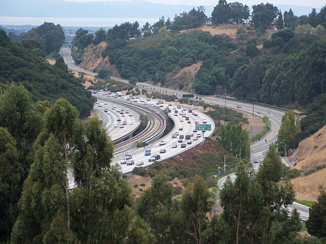
BART runs in the median through Castro Valley
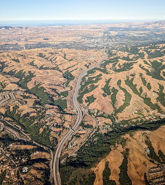
Aerial view looking east from above Castro Valley toward Dublin
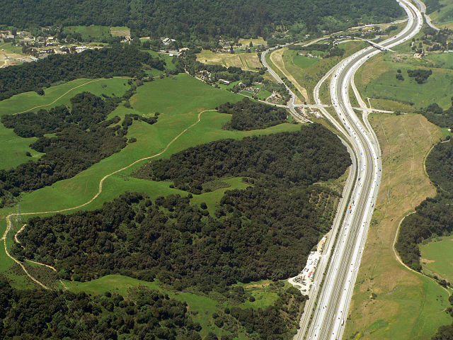
Looking west at Palomares Road at the west end of Dublin Canyon
Spur route
Videos
Page
A spur route is a short road forming a branch from a longer, more important road such as a freeway, Interstate Highway, or motorway. A bypass or beltway is not considered a spur route as it typically reconnects with another or the same major road.
Raccordo autostradale RA3
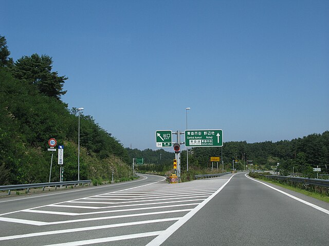
The Aomori Expressway (E4A) spur splits from the Tōhoku Expressway (E4)
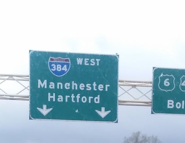
Interstate 384, a spur of Interstate 84 in Connecticut
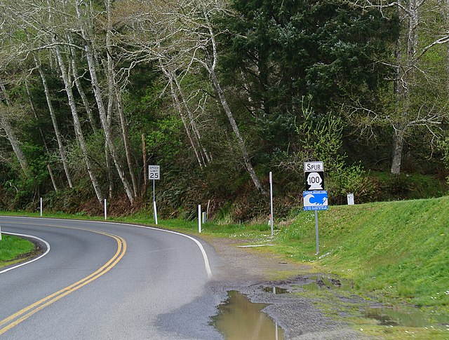
Spur route of Washington State Route 100