Interstate 80 in New Jersey
Interstate 80 (I-80) is a major Interstate Highway in the United States, running from San Francisco, California, eastward to the New York metropolitan area. In New Jersey, I-80 runs for 68.35 miles (110.00 km) from the Delaware Water Gap Toll Bridge at the Pennsylvania state line to its eastern terminus at I-95 in Teaneck, Bergen County. I-95 continues from the end of I-80 to the George Washington Bridge for access to New York City. The highway runs parallel to U.S. Route 46 (US 46) through rural areas of Warren and Sussex counties before heading into more suburban surroundings in Morris County. As the road continues into Passaic and Bergen counties, it heads into more urban areas. The New Jersey Department of Transportation (NJDOT) identifies I-80 within the state as the Christopher Columbus Highway.
View east along I-80 just after entering New Jersey within the Delaware Water Gap National Recreation Area
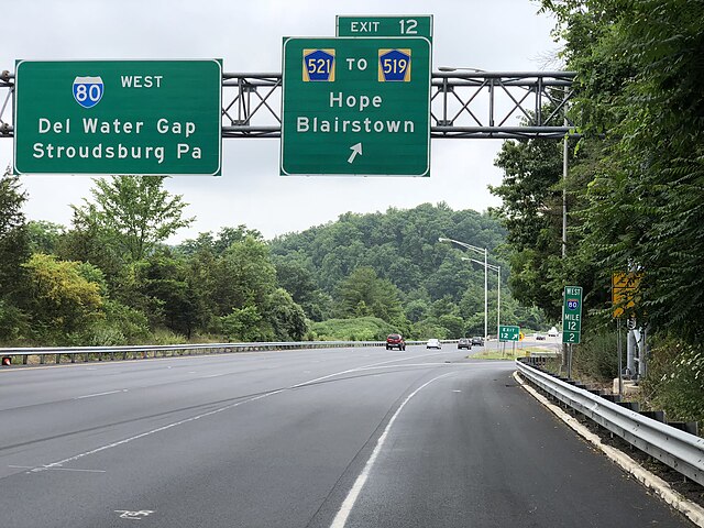
I-80 westbound at CR 521 exit in Hope Township
I-80 westbound at US 46 exit in Roxbury Township
I-80 eastbound in Paterson
Interstate 95 in New Jersey
Interstate 95 (I-95) is a major Interstate Highway that runs along the East Coast of the United States from Miami, Florida, north to the Canada–United States border at Houlton, Maine. In New Jersey, it runs along much of the mainline of the New Jersey Turnpike, as well as the Pearl Harbor Memorial Turnpike Extension, and the New Jersey Turnpike's I-95 Extension to the George Washington Bridge for a total of 77.96 miles (125.46 km). Located in the northeastern part of the state near New York City, the 11.03-mile (17.75 km) Western Spur of the New Jersey Turnpike, considered to be Route 95W by the New Jersey Department of Transportation (NJDOT), is also part of I-95.
Pearl Harbor Memorial Turnpike Extension of the New Jersey Turnpike (I-95) at the interchange with the New Jersey Turnpike mainline in Mansfield Township
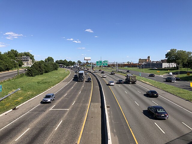
View north along the New Jersey Turnpike in Mansfield Township, Burlington County
View north along what the NJDOT refers to as Route 95W, the Western Spur (or "Western Alignment" as the NJDOT refers to it as) of the New Jersey Turnpike, one mile (1.6 km) south of exit 16W
Northbound view along the western and eastern spurs of the turnpike as they rise to cross the Passaic River, as seen from the Pulaski Skyway