The Isle of Arran or simply Arran is an island off the west coast of Scotland. It is the largest island in the Firth of Clyde and the seventh-largest Scottish island, at 432 square kilometres (167 sq mi). Historically part of Buteshire, it is in the unitary council area of North Ayrshire. In the 2011 census it had a resident population of 4,629. Though culturally and physically similar to the Hebrides, it is separated from them by the Kintyre peninsula. Often referred to as "Scotland in Miniature", the Island is divided into highland and lowland areas by the Highland Boundary Fault and has been described as a "geologist's paradise".
Arran Sunset Taken from Bell Stane, Ardneil Bay, 2007
Cìr Mhòr and Caisteal Abhail seen from North Goatfell
Lochranza village and castle
Holy Island as seen from Arran
The Firth of Clyde is the mouth of the River Clyde. It is located on the west coast of Scotland and constitutes the deepest coastal waters in the British Isles. The firth is sheltered from the Atlantic Ocean by the Kintyre peninsula, which encloses the outer firth in Argyll and Ayrshire. The Kilbrannan Sound is a large arm of the Firth of Clyde, separating the Kintyre Peninsula from the Isle of Arran. Within the Firth of Clyde is another major island – the Isle of Bute. Given its strategic location at the entrance to the middle and upper Clyde, Bute played a vital naval military role during World War II.
The Seamill beach looks south down the outer firth towards southern Arran and Ailsa Craig
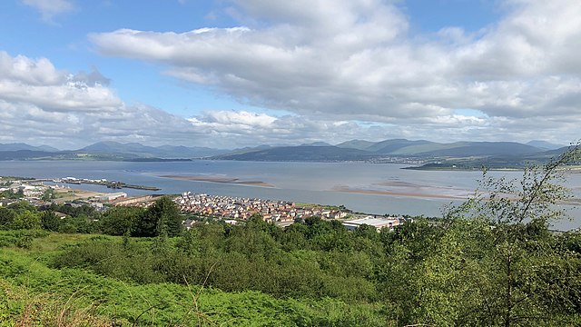
River Clyde navigable channel and sandbanks leading to the Tail of the Bank, seen from above redevelopments on the Lithgows shipyard site, and Greenock's Great Harbour.
The Holy Loch seen across the upper Firth of Clyde from Gourock, with Hunter's Quay to the left and Strone to the right, with the Caledonian MacBrayne ferry MV Saturn arriving from Dunoon.
Firth of Clyde, from Dunoon