Jezreel Valley
Videos
Page
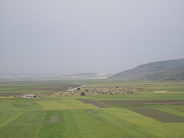
The Jezreel Valley, or Marj Ibn Amir, also known as the Valley of Megiddo, is a large fertile plain and inland valley in the Northern District of Israel. It is bordered to the north by the highlands of the Lower Galilee region, to the south by the Samarian highlands, to the west and northwest by the Mount Carmel range, and to the east by the Jordan Valley, with Mount Gilboa marking its southern extent. The largest settlement in the valley is the city of Afula, which lies near its center.
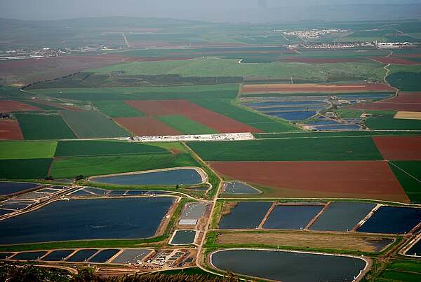
Agriculture in the Jezreel Valley
Image: Jezreel Valley 2

Jezreel Valley and Mount Tabor

Jezreel Valley
Lower Galilee
Videos
Page
The Lower Galilee is a region within the Northern District of Israel. The Lower Galilee is bordered by the Jezreel Valley to the south; the Upper Galilee to the north, from which it is separated by the Beit HaKerem Valley; the Jordan Rift Valley with the Jordan River and the Sea of Galilee to the east; and to the west, a segment of the Northern Coastal Plain known as the Zvulun Valley, stretching between the Carmel ridge and Acre. The Lower Galilee is the southern part of the Galilee. In Josephus' time, it was known to stretch in breadth from Xaloth (Iksal) to Bersabe, and in length from Cabul to Tiberias, a region that contains around 470 km2. It is called "Lower" since it is less mountainous than the Upper Galilee. The peaks of the Lower Galilee rise to 500 m (1,600 ft) above sea level. The tallest peaks are Mount Kamon at the northern part of the Lower Galilee, and Mount Tabor in the southern part.

Mount Tabor

Church of the Transfiguration
Beit Netofa Valley

Nahal Amud