Jurong is a major geographical region located at the south-westernmost point of the West Region of Singapore. Although mostly vaguely defined, the region's extent roughly covers the planning areas of Jurong East, Jurong West, Boon Lay, and Pioneer, along with Jurong Island in the Western Islands cluster and the southernmost portions of the Western Water Catchment. Should it be described at its greatest historical extent, the region can also include present-day Bukit Batok and Tuas.
Image: Southern to middle part of Jurong Lake, Singapore
Image: Jurong Town Hall, Singapore 20150611 03
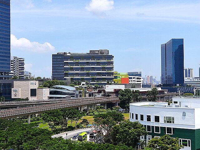
Image: NS1 EW24 Jurong East MRT exterior 20200918 140928
Image: IMM building in Jurong
The West Region of Singapore is one of the five regions in the city-state. The region is the largest in terms of land area and is the third most populous region after the North-East Region and Central Region. Jurong East is the regional centre of the region, with plans of developing the Jurong Lake District into a second CBD area. Jurong West is the most populous town in the region, with a population of 262,730 residents. Comprising 25,500 hectares of land area, it includes twelve planning areas and is home to about 922,540 residents.
Image: Housing and Development Board flats in Bukit Panjang, Singapore 20130131 (single row panorama)
Image: Little Guilin Park, Singapore (3823573035)
Image: Chinese Gardens (8058580441)
Image: Jurong Point