K-27 is an approximately 226-mile-long (364 km) north–south state highway that parallels Kansas' western border with Colorado. It is the westernmost north–south state highway in the state. It begins at U.S. Route 56 (US-56) in Elkhart near the Oklahoma state line and travels through the seven counties that border Colorado until reaching its northern terminus north of St. Francis, where it ends at the Nebraska state line. Along the way, it intersects several major highways, including US-160 in Johnson City, US-50 and US-400 in Syracuse, US-40 in Sharon Springs, Interstate 70 (I-70) and US-24 in Goodland, and US-36 in Wheeler. The section from US-40 north to Nebraska, is designated as the Land and Sky Scenic Byway. K-27 changes time zones twice, during its trek through Kansas, the only highway in the state to do so.
K-27 southbound at K-96
K-27 at south end of overlap with US-50 and US-400 in Syracuse
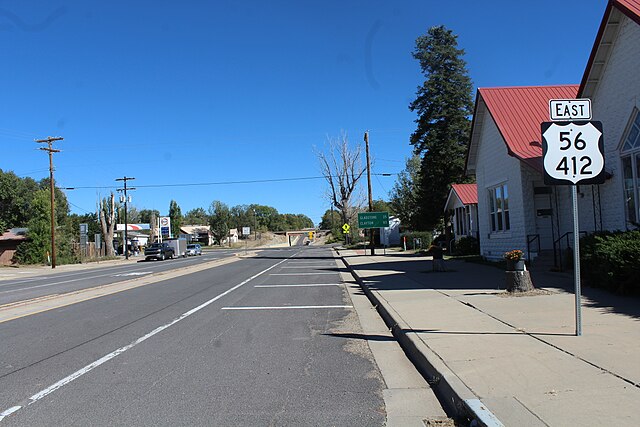
U.S. Route 56 is an east–west United States highway that runs for approximately 640 miles (1,030 km) in the Midwestern United States. US 56's western terminus is at Interstate 25 Business, US 412 and New Mexico State Road 21 in Springer, New Mexico and the highway's eastern terminus is at US 71 in Kansas City, Missouri. Much of it follows the Santa Fe Trail.
US 56 & US 412 eastbound in Springer
US 56 & US 412 east of Gladstone just after NM 120
Scranton, Kansas on US 56, in 1974
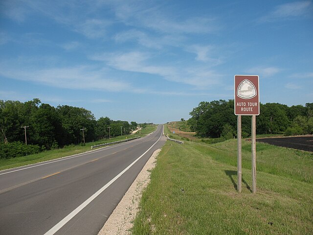
US 56 (Santa Fe Auto Tour Route) east of Council Grove, Kansas