K2
Videos
Page
K2, at 8,611 metres (28,251 ft) above sea level, is the second-highest mountain on Earth, after Mount Everest at 8,849 metres (29,032 ft). It lies in the Karakoram range, partially in the Gilgit-Baltistan region of Pakistan-administered Kashmir and partially in the China-administered Trans-Karakoram Tract in the Taxkorgan Tajik Autonomous County of Xinjiang.
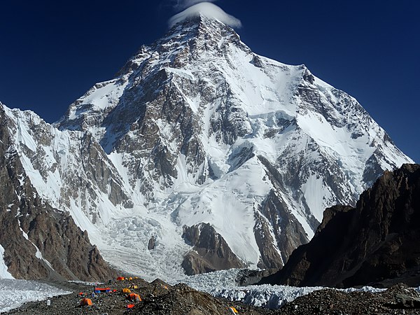
K2 from Broad Peak Base Camp
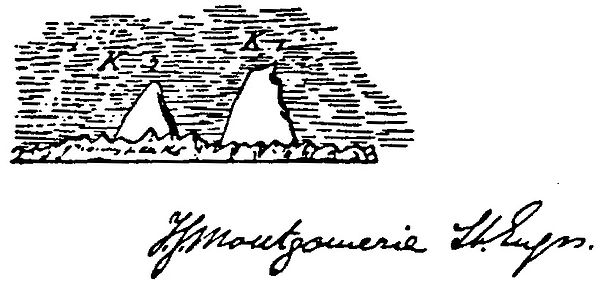
Montgomerie's original sketch from 1856 in which he applied the notation K2

View above Camp-IV of K2

The west face of K2 taken from the Savoia Glacier, on the 1909 expedition
Mount Everest
Videos
Page
Mount Everest is Earth's highest mountain above sea level, located in the Mahalangur Himal sub-range of the Himalayas. The China–Nepal border runs across its summit point. Its elevation of 8,848.86 m was most recently established in 2020 by the Chinese and Nepali authorities.
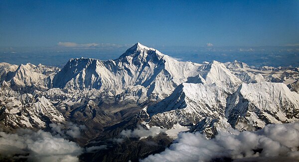
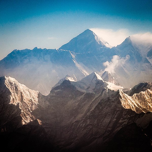
Aerial photo from the south, with Mount Everest rising above the ridge connecting Nuptse and Lhotse
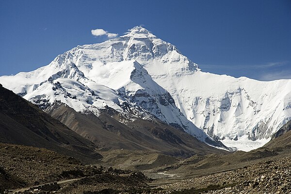
North Face of Everest as seen from the path to North Base Camp
Everest and Lhotse from the south: in the foreground are Thamserku, Kangtega, and Ama Dablam
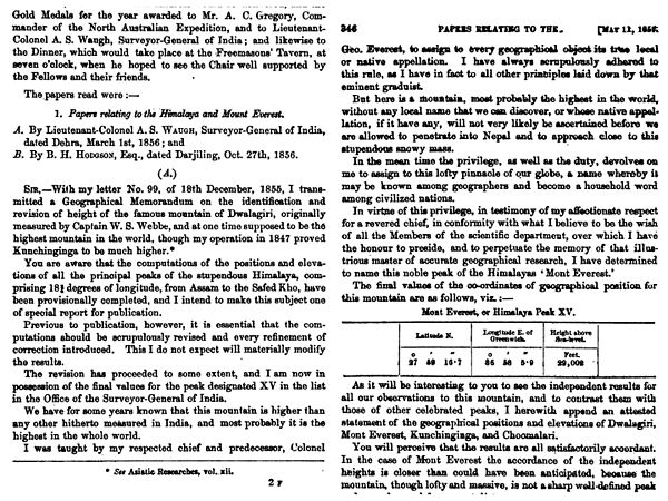
The name "Mount Everest" was first proposed in this 1856 speech, later published in 1857, in which the mountain was first confirmed as the world's highest.