Kankakee River
Videos
Page
The Kankakee River is a tributary of the Illinois River, approximately 133 miles (214 km) long, in the Central Corn Belt Plains of northwestern Indiana and northeastern Illinois in the United States. At one time, the river drained one of the largest wetlands in North America and furnished a significant portage between the Great Lakes and the Mississippi River. Significantly altered from its original channel, it flows through a primarily rural farming region of reclaimed cropland, south of Lake Michigan.

View of the river from Kankakee, Illinois, near Cobb Park
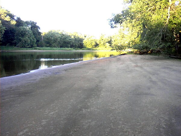
Sandy shore along the Kankakee River, three miles (4.8 km) west of Illinois–Indiana state line

Fisherman beside dam on the Kankakee River at Momence, Illinois, on the north bank, looking southwest
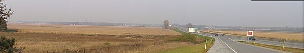
Headwaters of the Kankakee (US 20/US 31 at Prairie Avenue exit)
Illinois River
Videos
Page
The Illinois River is a principal tributary of the Mississippi River at approximately 273 miles (439 km) in length. Located in the U.S. state of Illinois, the river has a drainage basin of 28,756.6 square miles (74,479 km2). The Illinois River begins with the confluence of the Des Plaines and Kankakee rivers in the Chicago metropolitan area, and it generally flows to the southwest across Illinois, until it empties into the Mississippi near Grafton, Illinois. Its drainage basin extends into southeastern Wisconsin, northwestern Indiana, and a very small area of southwestern Michigan in addition to central Illinois. Along its shores are several river ports, including Peoria, Illinois. Historic and recreation areas on the river include Starved Rock, and the internationally important wetlands of the Emiquon Complex and Dixon Waterfowl Refuge.
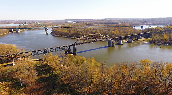
Illinois River valley, Abraham Lincoln Memorial Bridge, and LaSalle Rail Bridge near LaSalle, Illinois

Peoria, Illinois is the largest city on the river

River tow leaving the Starved Rock Lock headed down river.
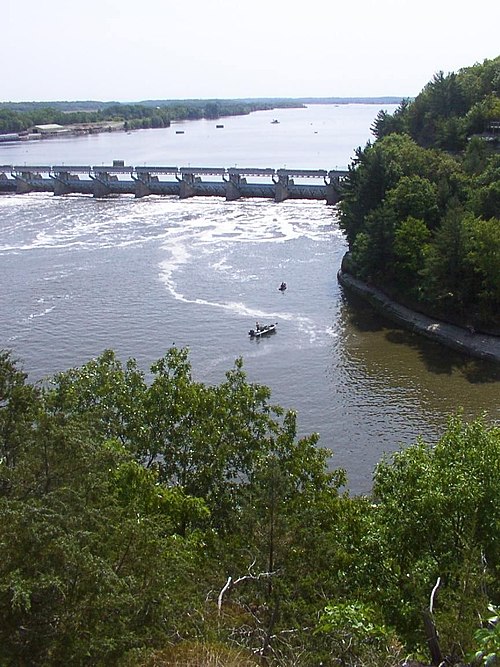
The Illinois River, as seen from Starved Rock State Park. The dam (upper-left center) is part of the infrastructure of the Illinois Waterway