Kew Gardens Hills, Queens
Videos
Page
Kew Gardens Hills is a neighborhood in the middle of the New York City borough of Queens. The borders are Flushing Meadows-Corona Park to the west, the Long Island Expressway to the north, Union Turnpike to the south, and Parsons Boulevard to the east.
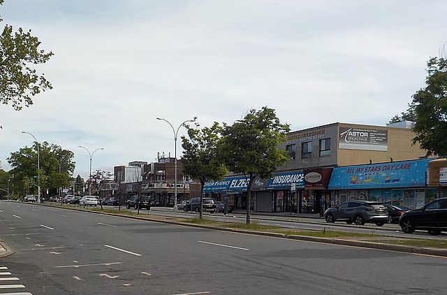
Main Street, one of the shopping centers of Kew Gardens Hills, May 2020
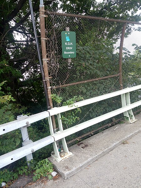
Boundary sign located over Flushing Meadows-Corona Park demarcating an Eruv boundary of Kew Gardens Hills
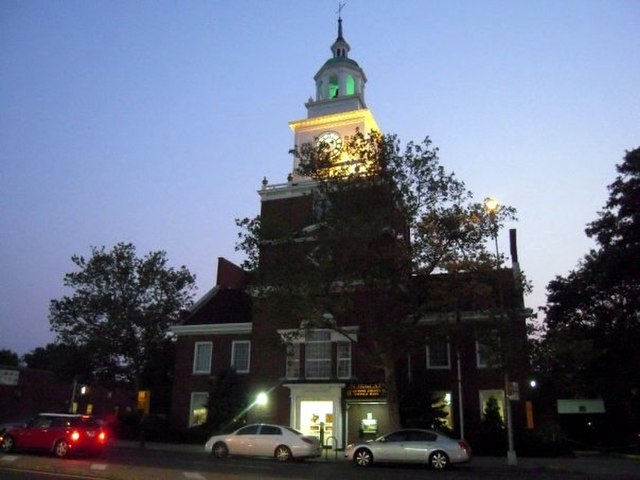
Queens County Savings Bank on Main Street
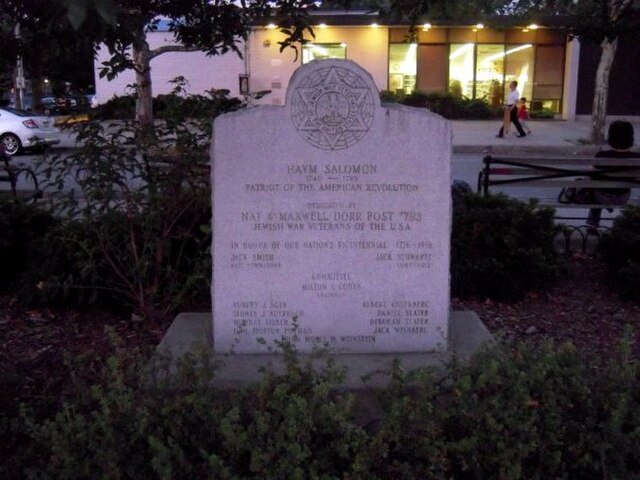
Haym Solomon Square in Kew Gardens Hills.
Grand Central Parkway
Videos
Page
The Grand Central Parkway (GCP) is a 14.61-mile (23.51 km) controlled-access parkway that stretches from the Triborough Bridge in New York City to Nassau County on Long Island. At the Queens–Nassau border, it becomes the Northern State Parkway, which runs across the northern part of Long Island through Nassau County and into Suffolk County, where it ends in Hauppauge. The westernmost stretch also carries a short stretch of Interstate 278 (I-278). The parkway runs through Queens and passes the Cross Island Parkway, Long Island Expressway, LaGuardia Airport and Citi Field, home of the New York Mets. The parkway is designated New York State Route 907M (NY 907M), an unsigned reference route. Despite its name, the Grand Central Parkway was not named after Grand Central Terminal.
The western end of the Grand Central Parkway concurrent with I-278 in Astoria, as seen facing the BMT Astoria Line

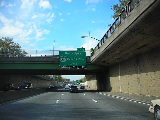
Passing under Union Turnpike
Depressed section through Jamaica