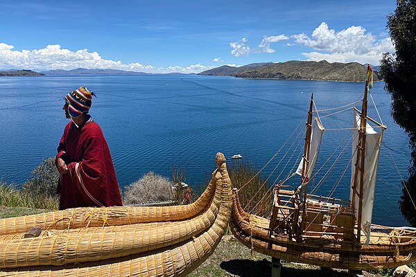
La Paz Department (Bolivia)
Videos
Page
The La Paz Department of Bolivia comprises 133,985 square kilometres (51,732 sq mi) with a 2012 census population of 2,706,359 inhabitants. It is situated at the western border of Bolivia, sharing Lake Titicaca with the neighboring Peru. It contains the Cordillera Real mountain range, which reaches altitudes of 6.6 kilometers (22,000 ft). Northeast of the Cordillera Real are the Yungas, the steep eastern slopes of the Andes Mountains that make the transition to the Amazon River basin to the northeast. The capital of the department is the city of La Paz and is the administrative city and seat of government/national capital of Bolivia.
Lake Titicaca in the Andes
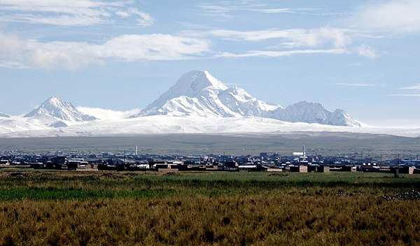
View of Huayna Potosí
Bolivia
Videos
Page
Bolivia, officially the Plurinational State of Bolivia, is a landlocked country located in western-central South America. It is bordered by Brazil to the north and east, Paraguay to the southeast, Argentina to the south, Chile to the southwest, and Peru to the west. The seat of government and administrative capital is La Paz, which contains the executive, legislative, and electoral branches of government, while the constitutional capital is Sucre, the seat of the judiciary. The largest city and principal industrial center is Santa Cruz de la Sierra, located on the Llanos Orientales, a mostly flat region in the east of the country.

The colonial Mint of Potosí
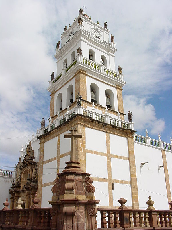
Metropolitan Cathedral of Sucre in Sucre, a UNESCO World Heritage city.

Historic headquarters of Banco Nacional de Bolivia in Sucre
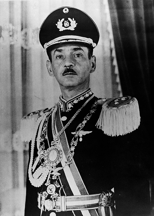
In 1971 Hugo Banzer Suárez, supported by the CIA, forcibly ousted President Torres in a coup.