Lake Tana
Videos
Page
Lake Tana is the largest lake in Ethiopia and a source of the Blue Nile. Located in Amhara Region in the north-western Ethiopian Highlands, the lake is approximately 84 kilometres long and 66 kilometres wide, with a maximum depth of 15 metres, and an elevation of 1,788 metres. Lake Tana is fed by the Gilgel Abay, Reb and Gumara rivers. Its surface area ranges from 3,000 to 3,500 square kilometres, depending on season and rainfall. The lake level has been regulated since the construction of the control weir where the lake discharges into the Blue Nile. This controls the flow to the Blue Nile Falls and hydro-power station.
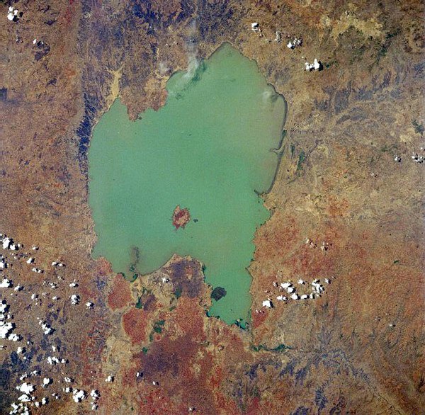
West-looking photograph of Lake Tana from space (April 1991)
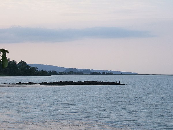
Views over Lake Tana
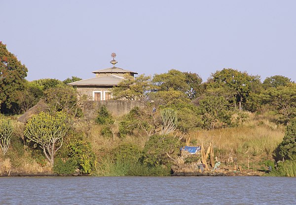
The Island Church on Lake Tana

A local tour guide demonstrates how a stone is struck to signal meal times at a monastery on Zege Peninsula
Blue Nile
Videos
Page
The Blue Nile is a river originating at Lake Tana in Ethiopia. It travels for approximately 1,450 km (900 mi) through Ethiopia and Sudan. Along with the White Nile, it is one of the two major tributaries of the Nile and supplies about 85.6% of the water to the Nile during the rainy season.
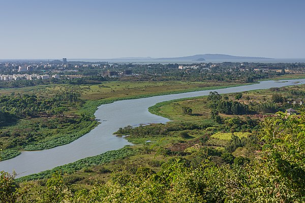
Blue Nile River in Ethiopia

Satellite image of where White and Blue Niles merge

Confluence of the Blue and White Nile rivers near Khartoum, the capital of Sudan
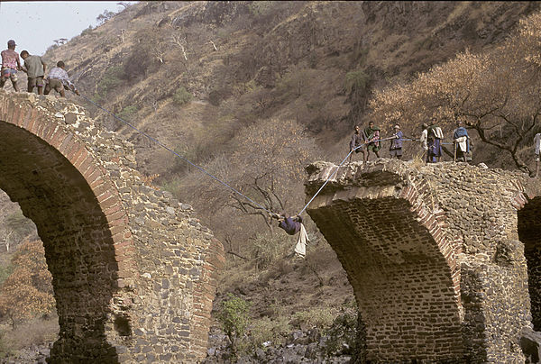
Men pull each other across the Blue Nile by rope prior to the building of a new bridge