Lake of the Ozarks
Videos
Page
Lake of the Ozarks is a reservoir created by impounding the Osage River in the northern part of the Ozarks in central Missouri. Parts of three smaller tributaries to the Osage are included in the impoundment: the Niangua River, Grandglaize Creek, and Gravois Creek. The lake has a surface area of 54,000 acres (220 km2) and 1,150 miles (1,850 km) of shoreline. The main channel of the Osage Arm stretches 92 miles (148 km) from one end to the other. The total drainage area is over 14,000 square miles (36,000 km2). The lake's serpentine shape has earned it the nickname "the Missouri Dragon", which has, in turn, inspired the names of local institutions such as the Magic Dragon Street Meet.
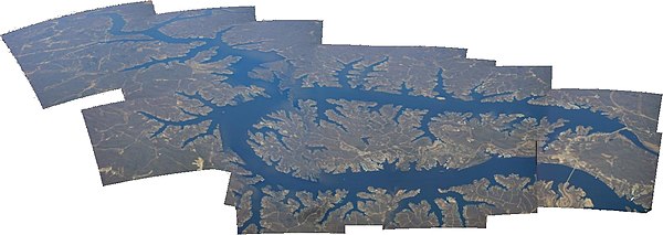
Aerial panorama of Lake of the Ozarks
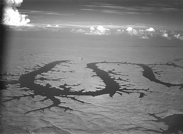
A 1945 aerial view of Lake of the Ozarks

Hurricane Deck Bridge, 1939-2013
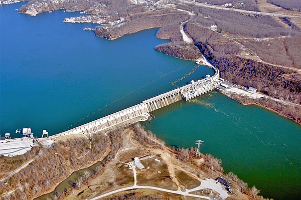
Bagnell Dam
Ozarks
Videos
Page
The Ozarks, also known as the Ozark Mountains, Ozark Highlands or Ozark Plateau, is a physiographic region in the U.S. states of Missouri, Arkansas, Oklahoma and the extreme southeastern corner of Kansas. The Ozarks cover a significant portion of northern Arkansas and most of the southern half of Missouri, extending from Interstate 40 in central Arkansas to Interstate 70 in central Missouri.
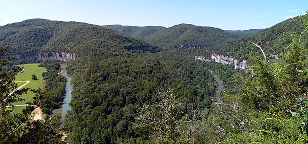
View of the Ozarks from the Buffalo National River, Newton County, Arkansas
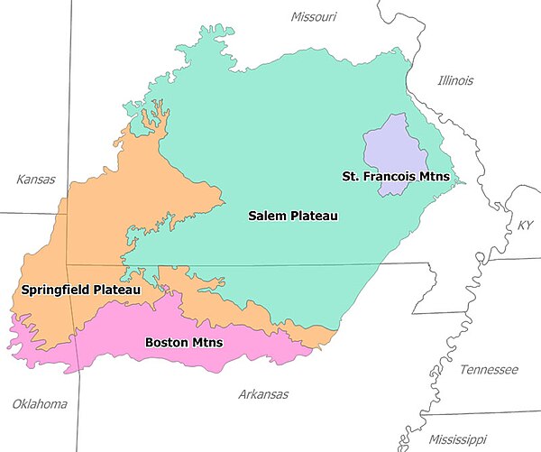
Image: Ozark Overview
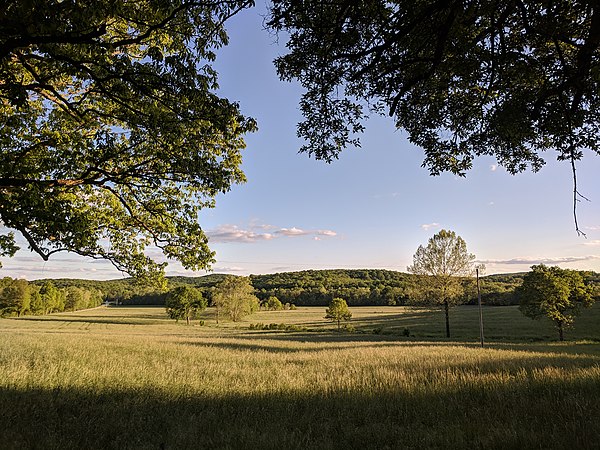
A rural Ozarks scene. Phelps County, Missouri

The Saint Francois Mountains, viewed here from Knob Lick Mountain, are the exposed geologic core of the Ozarks.