Lingayen Gulf
Videos
Page
Lingayen Gulf is a large gulf on northwestern Luzon in the Philippines, stretching 56 km (35 mi). It is framed by the provinces of Pangasinan and La Union and sits between the Zambales Mountains and the Cordillera Central. The Agno River and the Balili River drain into Lingayen Gulf.

Lingayen Gulf at San Fabian, Pangasinan, with the Cordillera Central mountains in the background.

Satellite image of Lingayen Gulf viewed from the north
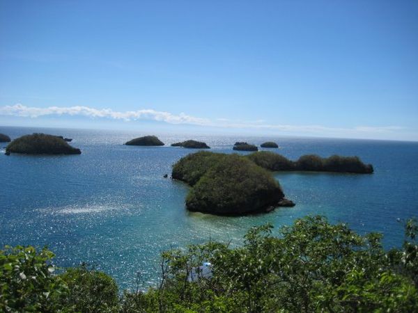
Hundred Islands National Park
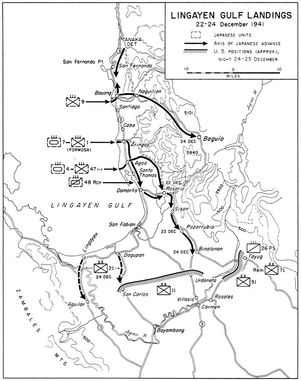
Lingayen Gulf landings and Japanese advance, 22–24 December 1941
Pangasinan
Videos
Page
Pangasinan, officially the Province of Pangasinan, is a coastal province in the Philippines located in the Ilocos Region of Luzon. Its capital is Lingayen. Pangasinan is in the western area of Luzon along Lingayen Gulf and the South China Sea. It has a total land area of 5,451.01 square kilometres (2,104.65 sq mi). According to the 2020 census, it has a population of 3,163,190. The official number of registered voters in Pangasinan is 1,651,814. The western portion of the province is part of the homeland of the Sambal people, while the central and eastern portions are the homeland of the Pangasinan people. Due to ethnic migration, the Ilocano people settled in the province.
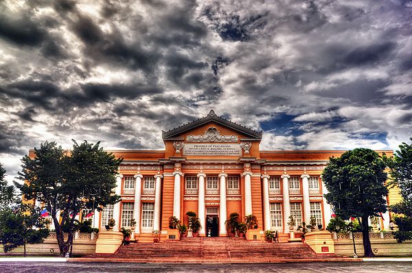
Image: Pangasinan Provincial Capitol Building

Image: Hundred Island National Park, Pangasinan

Image: Manaoag Basilica, Pangasinan
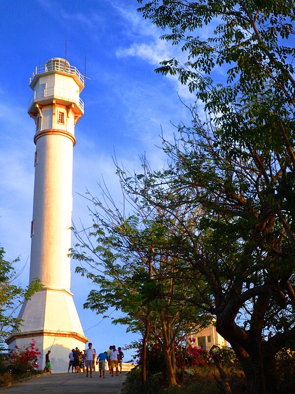
Image: Bolinao Lighthouse 001