Llano Estacado
Videos
Page
The Llano Estacado, sometimes translated into English as the Staked Plains, is a region in the Southwestern United States that encompasses parts of eastern New Mexico and northwestern Texas. One of the largest mesas or tablelands on the North American continent, the elevation rises from 3,000 feet (900 m) in the southeast to over 5,000 feet (1,500 m) in the northwest, sloping almost uniformly at about 10 feet per mile (2 m/km).

Northwest escarpment of the Llano Estacado
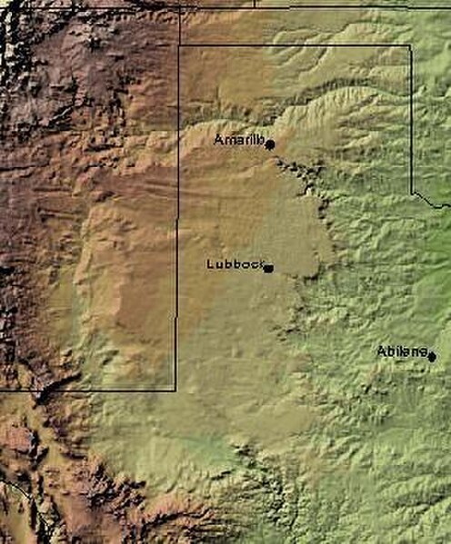
Shaded relief image of the Llano Estacado. The escarpments marking the eastern edge of the Llano are visible, running roughly in a north–south line through the middle of the Panhandle. The western edge is on the New Mexico side of the border, with the Texas–New Mexico border running considerably closer to the western edge of the Llano than to the eastern.

The northern edge of the Llano Estacado in New Mexico
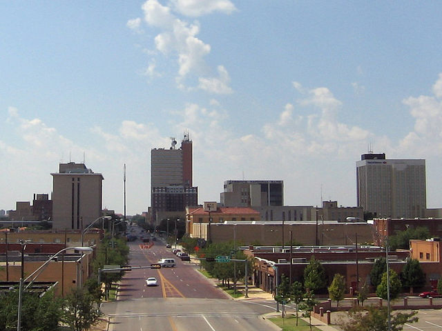
Lubbock, Texas, the largest city on the Llano
Southwestern United States
Videos
Page
The Southwestern United States, also known as the American Southwest or simply the Southwest, is a geographic and cultural region of the United States that includes Arizona and New Mexico, along with adjacent portions of California, Colorado, Nevada, Oklahoma, Texas, and Utah. The largest cities by metropolitan area are Phoenix, Las Vegas, El Paso, Albuquerque, and Tucson. Before 1848, in the historical region of Santa Fe de Nuevo México as well as parts of Alta California and Coahuila y Tejas, settlement was almost non-existent outside of Nuevo México's Pueblos and Spanish or Mexican municipalities. Much of the area had been a part of New Spain and Mexico until the United States acquired the area through the Treaty of Guadalupe Hidalgo in 1848 and the smaller Gadsden Purchase in 1854.
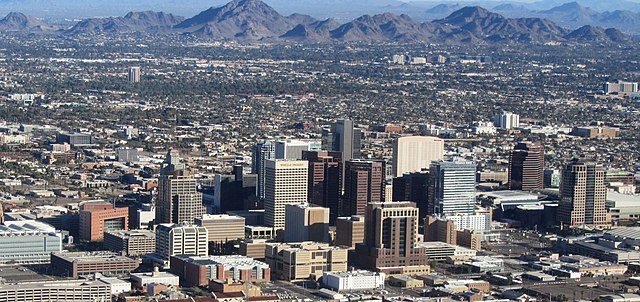
Image: Phoenix AZ Downtown from airplane (cropped)

Image: Monument Valley 2

Image: Cathedral rock sedona arizona 2
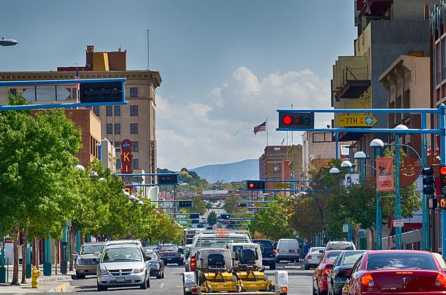
Image: Route 66 Downtown