Loch Lomond and The Trossachs National Park
Loch Lomond and The Trossachs National Park is a national park in Scotland centred on Loch Lomond and the hills and glens of the Trossachs, along with several other ranges of hills. It was the first of the two national parks established by the Scottish Parliament in 2002, the second being the Cairngorms National Park. The park extends to cover much of the western part of the southern highlands, lying to the north of the Glasgow conurbation, and contains many mountains and lochs. It is the fourth-largest national park in the British Isles, with a total area of 1,865 km2 (720 sq mi) and a boundary of some 350 km (220 mi) in length. It features 21 Munros and 20 Corbetts.
Looking eastwards along Loch Katrine
Loch Lomond, viewed from the slopes of Ben Lomond.
Remnants of the Caledonian forest in Glen Falloch.
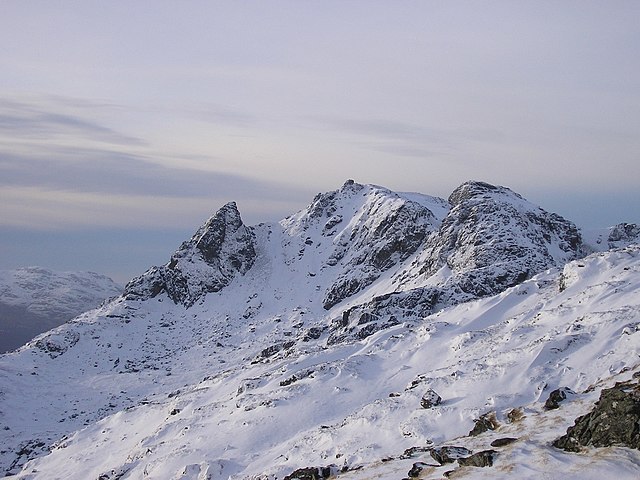
The Cobbler, one of the most popular hillwalking venues in the park.
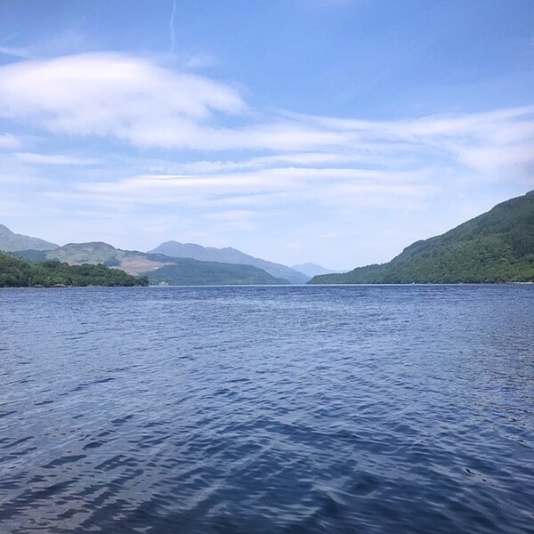
Loch Lomond is a freshwater Scottish loch which crosses the Highland Boundary Fault, often considered the boundary between the lowlands of Central Scotland and the Highlands. Traditionally forming part of the boundary between the counties of Stirlingshire and Dunbartonshire, Loch Lomond is split between the council areas of Stirling, Argyll and Bute and West Dunbartonshire. Its southern shores are about 23 kilometres (14 mi) northwest of the centre of Glasgow, Scotland's largest city. The Loch forms part of the Loch Lomond and The Trossachs National Park which was established in 2002.
Loch Lomond
From the summit of the island of Inchcailloch to Torrinch, Creinch, Inchmurrin and Ben Bowie
Loch Lomond depicted in a late 19th-century graphite drawing by Thomas J. Marple.
Maid of the Loch at Balloch pier