Mackenzie Basin
Videos
Page
The Mackenzie Basin, popularly and traditionally known as the Mackenzie Country, is an elliptical intermontane basin located in the Mackenzie and Waitaki Districts, near the centre of the South Island of New Zealand. It is the largest such basin in New Zealand. Historically famous mainly for sheep farming, the sparsely populated area is now also a popular tourism destination.

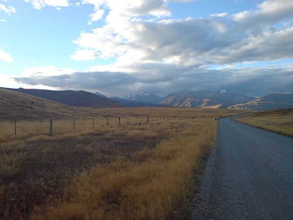
The Mackenzie Country's typical autumn colouration
The Southern Alps form the northern and western boundaries of the basin.
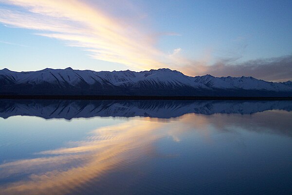
The Ben Ohau Range from the eastern shore of Tekapo B hydrogenerator station headgate pond
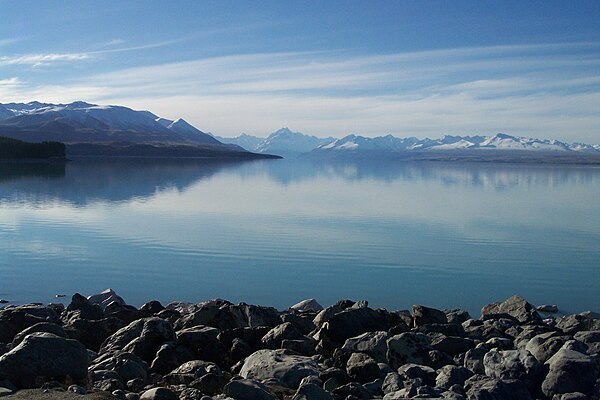
Aoraki / Mount Cook from the southern shore of Lake Pukaki
Mackenzie District
Videos
Page
Mackenzie District is a local government district on New Zealand's South Island, administered by the Mackenzie District Council. It is part of the larger Canterbury Region. The region takes its name from the Mackenzie Basin, an elliptical intermontane basin which covers much of inland Canterbury.
Mackenzie District

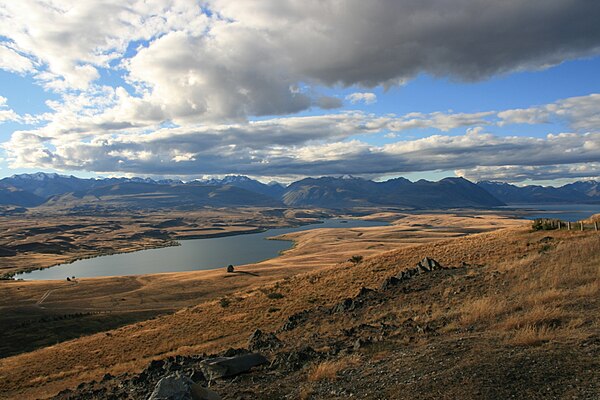
View near Twizel