Malappuram district
Videos
Page
Malappuram, is one of the 14 districts in the Indian state of Kerala, with a coastline of 70 km (43 mi). The most populous district of Kerala, Malappuram is home to around 13% of the total population of the state. The district was formed on 16 June 1969, spanning an area of about 3,554 km2 (1,372 sq mi). It is the third-largest district of Kerala by area. It is bounded by Western Ghats and the Arabian Sea on either side. The district is divided into seven Taluks: Eranad, Kondotty, Nilambur, Perinthalmanna, Ponnani, Tirur, and Tirurangadi.
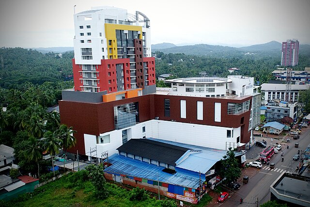
Image: Manjeri Town Calicut Road View
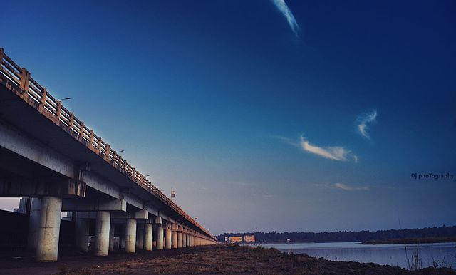
Image: Chamravattam bridge kerala
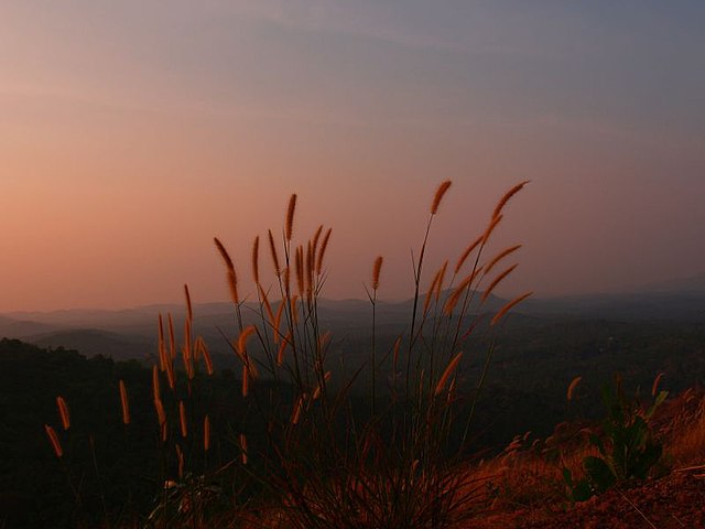
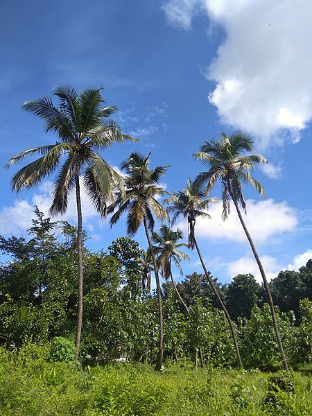
A typical hilly landscape in the district (Near Pulpatta)

A Chaliyar hillside at Edavanna
Nilambur
Videos
Page
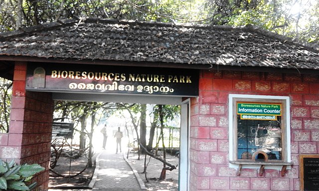
Nilambur is a major town, a municipality and a Taluk in the Malappuram district of the Indian state of Kerala. It is located close to the Nilgiris range of the Western Ghats on the banks of the Chaliyar River. This place is also known as 'Teak Town' because of the abundance of Nilambur teaks in this area; Which is a variety of a large, deciduous tree that occurs in mixed hardwood forests. Unlike many Municipalities of India; Nilambur is covered with large amounts of vegetation making it close to nature and hence make it very scenic and inspiring.
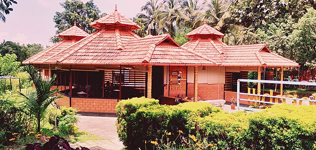
A resort at Nilambur
Nilambur

Conolly's plot, Nilambur
Teak Museum