Marathwada
Videos
Page
Marathwada is a proposed state and geographical region of the Indian state of Maharashtra. It was formed during the Nizam's rule and was part of the then Hyderabad State. The region coincides with the Aurangabad division of Maharashtra. It borders the states of Karnataka and Telangana, and it lies to the west of the Vidarbha and east of Uttar Maharashtra regions of Maharashtra. The largest city of Marathwada is Aurangabad. Its people speak Marathi and Deccani Urdu.
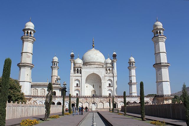
Image: Aurangabad, Bibi Ka Maqbara (9842174586)

Image: Ajanta, cave 26, chaitya griha, Buddha (9841424296)

Image: Aundha Nagnath Shiva Temple Jyotirlinga Maharashtra India
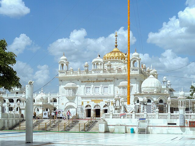
Image: Hazur Sahib, Nanded, Maharashtra, September 2012
States and union territories of India
Videos
Page
India is a federal union comprising 28 states and 8 union territories, for a total of 36 entities. The states and union territories are further subdivided into districts and smaller administrative divisions.

Administrative divisions of the Indian Empire in 1909

Administrative divisions of the Union of India in 1949