Maryborough is a town in Victoria, Australia, on the Pyrenees Highway, 58 kilometres (36 mi) north of Ballarat and 168 kilometres (104 mi) northwest of Melbourne, in the Shire of Central Goldfields. At the 2021 census, the urban centre had a population of 7,769., while the larger Level 2 Statistical Area which includes the urban fringe, had 8,160, both an increase of more than 3% since 2016.
McLandress Square, with the post office and court house
Maryborough railway station was built in 1890, replacing a smaller one built in 1874
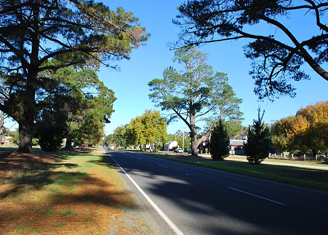
Pyrenees Highway, Victoria
Pyrenees Highway is a rural highway in western Victoria, Australia, linking Glenelg Highway in Glenthompson to Calder Highway in Elphinstone. It intersects with the region's major road freight route, Western Highway in Ararat, in addition to Midland Highway in Castlemaine and Sunraysia Highway in Avoca. It was named after the Pyrenees ranges the highway runs through. This name covers many consecutive roads which are not widely known to most drivers except for the easternmost section, as the entire allocation is best known by the name of its last constituent part: Maroona–Glenthompson Road, Mortlake–Ararat Road and Pyrenees Highway proper. This article will deal with the entire length of the corridor for sake of completion, as well to avoid confusion between declarations.
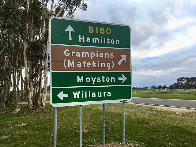
Pyrenees Highway, Victoria
Pyrenees Highway (B180) road sign at Willaura heading south between Ararat and Glenthompson.