Maryland Route 650
Videos
Page
Maryland Route 650 is a state highway in the U.S. state of Maryland. Known as New Hampshire Avenue for most of its length, the state highway runs 25.89 mi (41.67 km) from Eastern Avenue at the Washington, D.C. border north to MD 108 in Etchison. MD 650 serves as a major north-south commuter route in northwestern Prince George's County and eastern Montgomery County, connecting the District of Columbia with the residential suburbs of Takoma Park, Langley Park, Adelphi, Hillandale, White Oak, and Colesville. By contrast, the part of MD 650 north of Spencerville is a quiet rural road connecting several small communities along the northeastern fringe of Montgomery County.
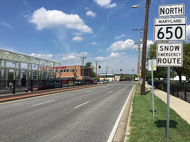
View north along MD 650 at MD 193 in Langley Park
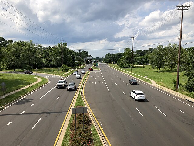
MD 650 northbound past the US 29 interchange in White Oak
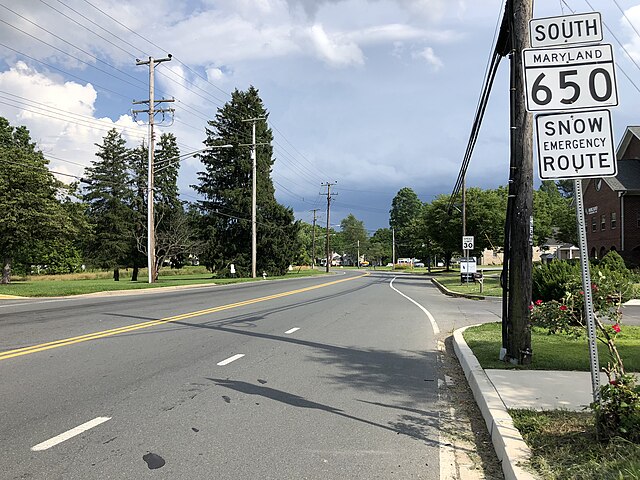
MD 650 southbound past MD 108 in Ashton
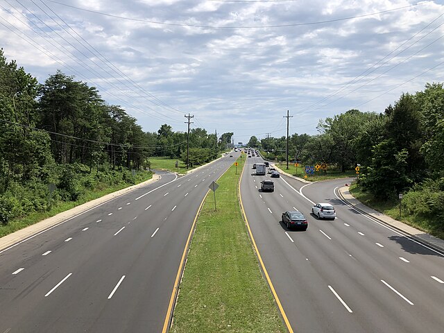
View south along MD 650 from I-495 in Hillandale
Maryland Route 108
Videos
Page
Maryland Route 108 is a state highway in the U.S. state of Maryland. The highway runs 34.23 miles (55.09 km) from MD 27 in Damascus east to MD 175 in Columbia. MD 108 is an S-shaped highway that winds through northern Montgomery County and central Howard County. The highway connects the Montgomery County communities of Laytonsville, Olney, Sandy Spring, and Ashton with the Howard County villages of Highland and Clarksville. MD 108 serves as the northern edge of Columbia and connects several of the planned community's suburban villages.

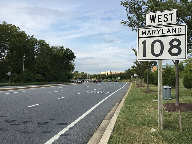
MD 108 westbound past MD 650 in Etchison
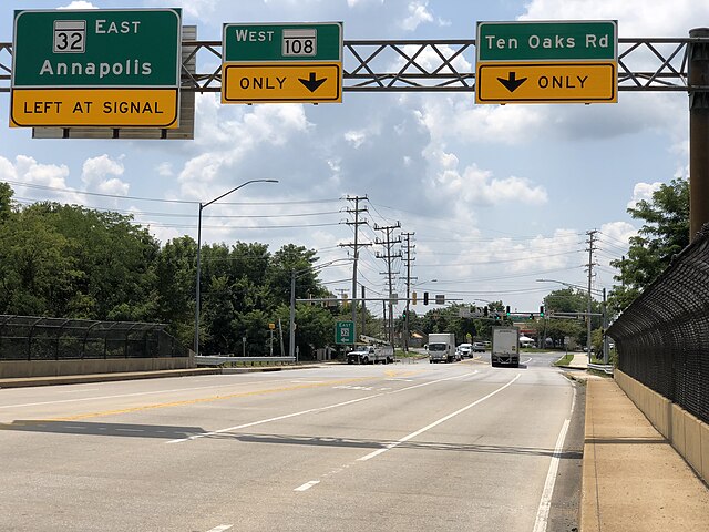
MD 108 westbound at MD 32 in Clarksville

View east along MD 108 at MD 216 in Highland
MD 108 westbound past its eastern terminus at MD 175 in Columbia