Mattabesett Trail
Videos
Page
The Mattabesett Trail is a 62-mile (100 km) long, hook-shaped blue-blazed hiking trail in central Connecticut and a part of the New England National Scenic Trail. One half of the trail follows the high traprock ridges of the Metacomet Ridge, from Totoket Mountain in Guilford, Connecticut, to Lamentation Mountain in Meriden, Connecticut, from south to north. This ridge is known for its biodiversity, miles of scenic cliffs, and rugged hiking. The second half of the trail extends north from Guilford to Middletown, Connecticut, and ends at the Connecticut River. Here, the trail follows an upland of metamorphic rock with occasional views and dense forests.
Higby Mountain along the Mattabesett Trail
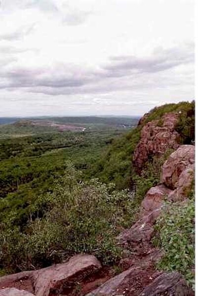
View from Higby Mountain of Interstate 91 and the eastern quarry face of Chauncey Peak. In the far distance is Lamentation Mountain's long ridge.
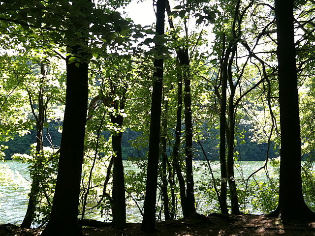
Crescent Lake (Bradley Hubbard Reservoir) in Meriden's Giuffrida Park on the Mattabesett Trail. .
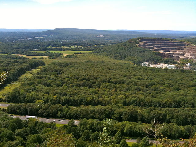
Looking north at Lamentation Mountain from the Lamentation Mountain ridge.
Blue-Blazed Trails
Videos
Page
The Blue-Blazed Hiking Trail (BBHT) system, managed by the Connecticut Forest & Park Association (CFPA), and the related trail systems documented in the two-volume 19th Edition of the "Connecticut Walk Book" comprise over 800 miles of hiking trails in Connecticut.

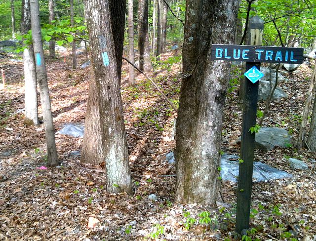
Blue Blaze and CFPA Sign for scenic overlook spur on tree along Paugussett Trail near Golden Hill Lane in Shelton, Connecticut
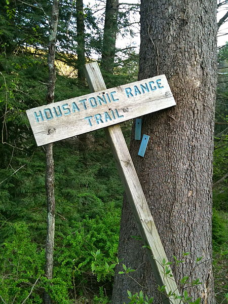
An example of several different trail markers in use: wooden sign, blue diamond sign, light blue paint blazes. The Housatonic Range Trail (AKA Candlewood Mountain Trail) crossing on Squash Hollow Road in New Milford, CT.
At the Housatonic Range Trail's Northern Terminus: a wooden trail head sign and light blue painted wood tags indicating a left turn.
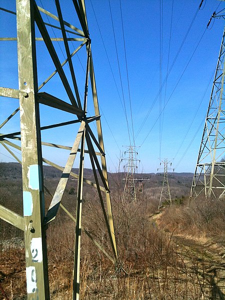
The Blue Blazes are not just for trees, where necessary they are painted on rocks, telephone poles, fences or power line towers. A right turn.