The Mendip Hills is a range of limestone hills to the south of Bristol and Bath in Somerset, England. Running from Weston-super-Mare and the Bristol Channel in the west to the Frome valley in the east, the hills overlook the Somerset Levels to the south and the Chew Valley and other tributaries of the Avon to the north. The highest point, at 325 metres above sea level, is Beacon Batch which is the summit area atop Black Down. The hills gave their name to the former local government district of Mendip, which administered most of the local area until April 2023. The higher, western part of the hills, covering 198 km2 (76 sq mi) has been designated an Area of Outstanding Natural Beauty (AONB), which gives it a level of protection comparable to a national park.
The Mendip Hills as seen from Crook Peak near Compton Bishop
Cross-section of a Carboniferous Limestone bored by Jurassic organisms; borings include Gastrochaenolites (some with boring bivalves in place) and Trypanites; Mendip Hills; scale bar = 1 cm
Male Dartford warbler
Four-spotted chaser
Somerset is a ceremonial county in South West England. It is bordered by the Bristol Channel, Gloucestershire, and Bristol to the north, Wiltshire to the east and the north-east, Dorset to the south-east, and Devon to the south-west. The largest settlement is the city of Bath, and the county town is Taunton.
Image: Somerset Levels from Glastonbury Tor (27941775545) (cropped)
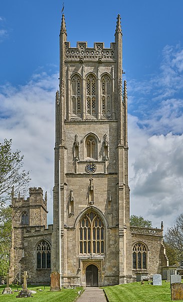
Image: St Mary the Virgin, Bruton, Somerset
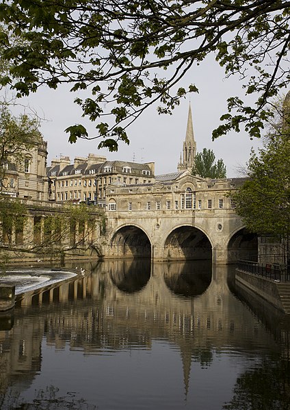
Image: Puente Pulteney, Bath, Inglaterra, 2014 08 12, DD 51
Palladian Pulteney Bridge at Bath