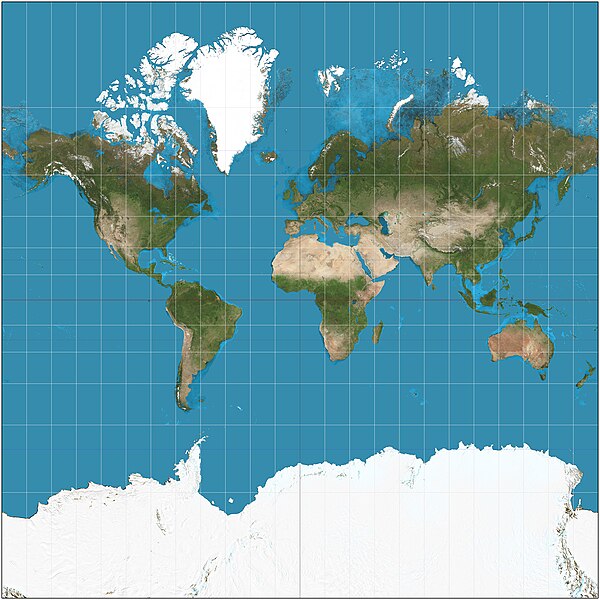
The Mercator projection is a conformal cylindrical map projection presented by Flemish geographer and cartographer Gerardus Mercator in 1569. It became the standard map projection for navigation due to its ability to represent north as 'up' and south as 'down' everywhere while preserving local directions and shapes. However, as a result, the Mercator projection inflates the size of objects the further they are from the equator. In a Mercator projection, landmasses such as Greenland and Antarctica appear far larger than they actually are relative to landmasses near the equator. Despite these drawbacks, the Mercator projection is well-suited to marine navigation and internet web maps and continues to be widely used today.
Mercator projection of the world between 85°S and 85°N. Note the size comparison of Greenland and Africa.
In cartography, a map projection is any of a broad set of transformations employed to represent the curved two-dimensional surface of a globe on a plane. In a map projection, coordinates, often expressed as latitude and longitude, of locations from the surface of the globe are transformed to coordinates on a plane.
Projection is a necessary step in creating a two-dimensional map and is one of the essential elements of cartography.
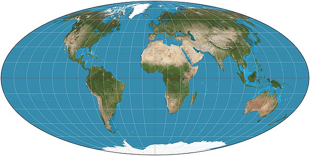
The equal-area Mollweide projection
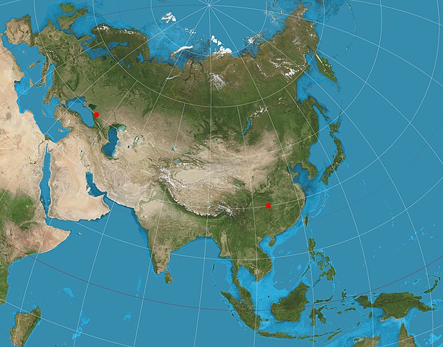
A two-point equidistant projection of Eurasia
Image: Tobler hyperelliptical projection SW
Image: Mollweide projection SW