Merrimack River
Videos
Page
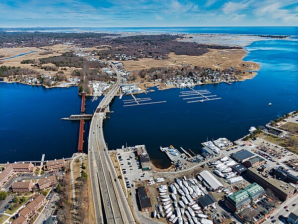
The Merrimack River is a 117-mile-long (188 km) river in the northeastern United States. It rises at the confluence of the Pemigewasset and Winnipesaukee rivers in Franklin, New Hampshire, flows southward into Massachusetts, and then flows northeast until it empties into the Gulf of Maine at Newburyport. From Pawtucket Falls in Lowell, Massachusetts, onward, the Massachusetts–New Hampshire border is roughly calculated as the line three miles north of the river.
Mouth of Merrimack River in Newburyport, Massachusetts, in 2021

The Merrimack River in Pembroke, New Hampshire

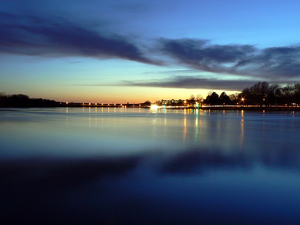
The Merrimack as it flows from Haverhill to its mouth in Newburyport, Massachusetts
Merrimack River in Lowell, Mass.
Pemigewasset River
Videos
Page
The Pemigewasset River, known locally as "The Pemi", is a river in the state of New Hampshire, the United States. It is 65.0 miles (104.6 km) in length and drains approximately 1,021 square miles (2,644 km2). The name "Pemigewasset" comes from the Abenaki word bemijijoasek [bəmidzidzoasək], meaning "where side (entering) current is".
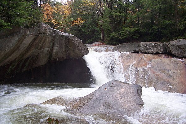
The Pemigewasset River descends into the Basin in Franconia Notch.
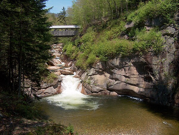
The Sentinel Pine bridge and The Pool in Franconia Notch

Dam on the Pemigewasset River in 1912, Woodstock, NH
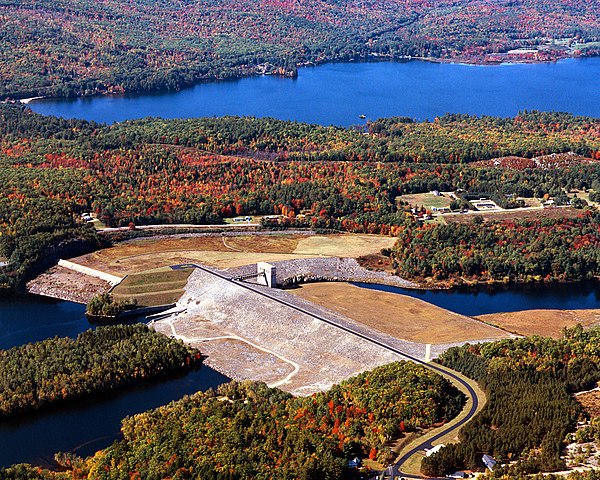
Franklin Falls Dam on the Pemigewasset River in Merrimack County. Webster Lake in the background is a separate water body.