Molonglo River
Videos
Page
The Molonglo River is a perennial river that is part of the Murrumbidgee catchment within the Murray–Darling basin. It is located in the Monaro and Capital Country regions of New South Wales and the Australian Capital Territory, in Australia.

Black swans on Molonglo River
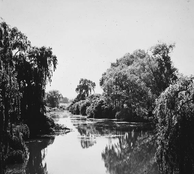
Molonglo River at Acton in 1920
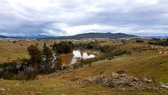
View of the Molonglo River from Barrer Circuit Trailhead. The suburbs of Coombs, Wright and Denman Prospect are viewable (L to R) against the backdrop of Mount Stromlo and the Tidbinbilla mountain range.
Murrumbidgee River
Videos
Page
The Murrumbidgee River is a major tributary of the Murray River within the Murray–Darling basin and the second longest river in Australia. It flows through the Australian state of New South Wales and the Australian Capital Territory, descending 1,500 metres (4,900 ft) over 1,485 kilometres (923 mi), generally in a west-northwesterly direction from the foot of Peppercorn Hill in the Fiery Range of the Snowy Mountains towards its confluence with the Murray River near Boundary Bend.
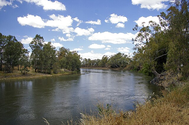
Murrumbidgee River at Wagga Wagga

Charles Sturt Monument located at Wagga Beach in Wagga Wagga
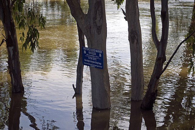
Murrumbidgee River in major flood in December 2010 and flood marker showing the height of the 1974 floods in Wagga Wagga
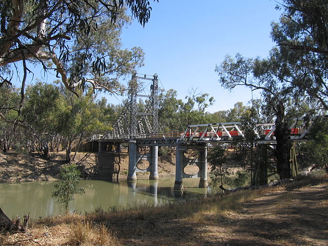
Bridge over the Murrumbidgee at Carrathool.