Monsoon trough
Videos
Page
The monsoon trough is a portion of the Intertropical Convergence Zone in the Western Pacific, as depicted by a line on a weather map showing the locations of minimum sea level pressure, and as such, is a convergence zone between the wind patterns of the southern and northern hemispheres.

August position of the ITCZ and monsoon trough in the Pacific Ocean, depicted by area of convergent streamlines in the northern Pacific

February position of the ITCZ and monsoon trough in the Pacific Ocean, depicted by area of convergent streamlines offshore Australia and in the equatorial eastern Pacific
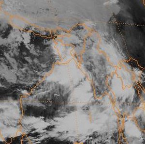
Monsoon depression near Bangladesh

View of central Kolkata after a monsoon rain.
Intertropical Convergence Zone
Videos
Page
The Intertropical Convergence Zone, known by sailors as the doldrums or the calms because of its monotonous windless weather, is the area where the northeast and the southeast trade winds converge. It encircles Earth near the thermal equator though its specific position varies seasonally. When it lies near the geographic Equator, it is called the near-equatorial trough. Where the ITCZ is drawn into and merges with a monsoonal circulation, it is sometimes referred to as a monsoon trough.

The ITCZ is visible as a band of clouds encircling Earth near the Equator.

Hurricanes Celia and Darby in the eastern Pacific and the precursor to Hurricane Alex in the Intertropical Convergence Zone. (2010)