Morogoro Region
Videos
Page
Morogoro Region is one of Tanzania's 31 administrative regions. The region covers an area of 70,624 km2 (27,268 sq mi). The region is comparable in size to the combined land area of the nation state of Ireland. Morogoro Region is bordered to the north by the Manyara Region and Tanga Region, to the east by the Pwani and Lindi Regions, to the south by the Ruvuma Region and to the west by the Iringa Njombe and Dodoma Regions. The regional capital is the municipality of Morogoro. According to the 2022 national census, the region had a population of 3,197,104.
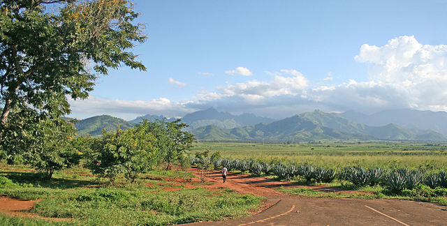
Image: Mt Uluguru and Sisal plantations
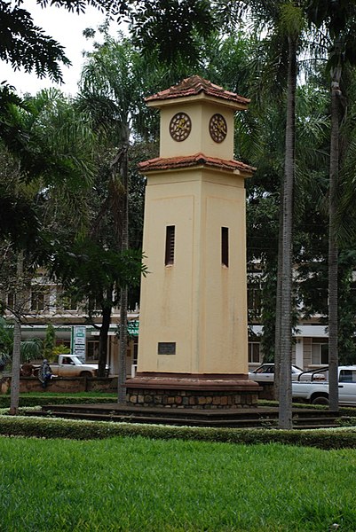
Image: Morogoro clock tower
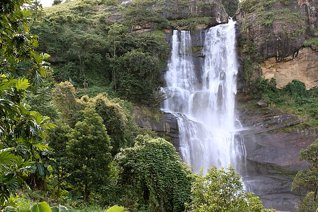
Image: Waterfalls in Morogoro
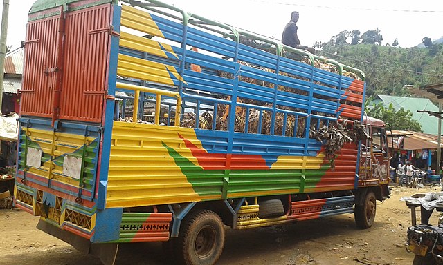
A truck in a village near Morogoro.
Manyara Region
Videos
Page
Manyara Region is one of Tanzania's 31 administrative regions. The regional capital is the town of Babati. According to the 2012 national census, the region had a population of 1,425,131, which was lower than the pre-census projection of 1,497,555. For 2002–2012, the region's 3.2 percent average annual population growth rate was tied for the third highest in the country. It was also the 22nd most densely populated region with 32 people per square kilometre.
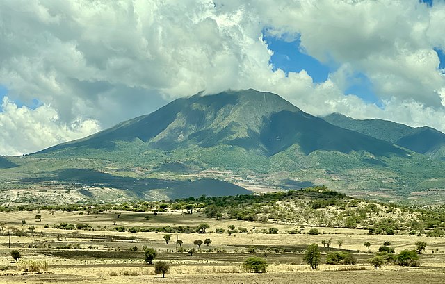
Image: Mount Hanang from Mogitu Ward
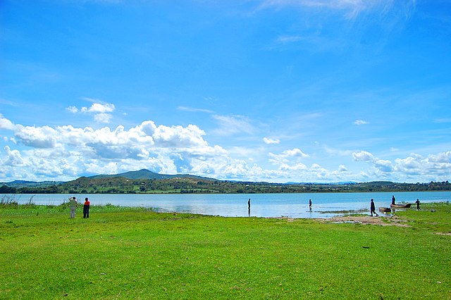
Image: Lake Babati 3
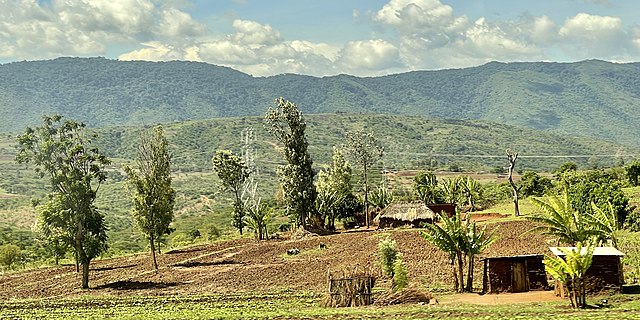
Image: Mountain views in Arri Ward

Squirrel eats a fruit in Manyara National Park, Tanzania.