The Mount Hood Wilderness is a protected wilderness area inside the Mount Hood National Forest, in the U.S. state of Oregon. The area, covering 64,742 acres (26,200 ha), includes the peak of Mount Hood and its upper slopes, and ranges from temperate rain forests at the lower elevations, to glaciers and rocky ridges at higher elevations.
On the northern flank of Mount Hood, Barrett Spur, 7,863 feet (2,397 m), divides Ladd Glacier (center) from its eastern neighbor, Coe Glacier.
U-shaped valley on the west flank of Mount Hood
Mount Hood National Forest
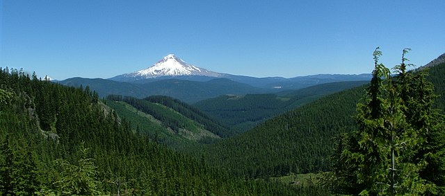
The Mount Hood National Forest is a U.S. National Forest in the U.S. state of Oregon, located 62 miles (100 km) east of the city of Portland and the northern Willamette River valley. The Forest extends south from the Columbia River Gorge across more than 60 miles (97 km) of forested mountains, lakes and streams to the Olallie Scenic Area, a high lake basin under the slopes of Mount Jefferson. The Forest includes and is named after Mount Hood, a stratovolcano and the highest mountain in the state.
Snow-covered Mount Hood in the Mount Hood National Forest
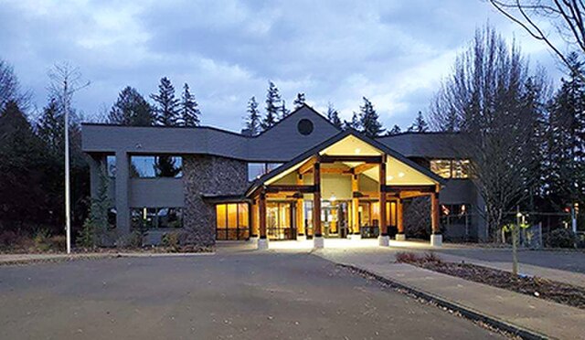
The headquarters building of the Mount Hood National Forest
Old-growth Douglas Fir in the Mount Hood National Forest
Mount Hood (3429m) in 2006