Mount Ruapehu
Videos
Page
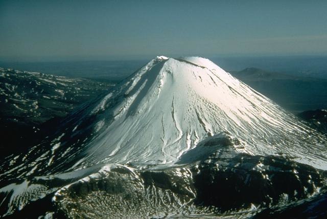
Mount Ruapehu is an active stratovolcano at the southern end of the Taupō Volcanic Zone and North Island volcanic plateau in New Zealand. It is 23 km (14 mi) northeast of Ohakune and 23 km (14 mi) southwest of the southern shore of Lake Taupō, within the Tongariro National Park. The North Island's major ski resorts and only glaciers are on its slopes.
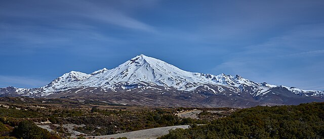
Mt Ruapehu from Tongariro Northern Circuit, 2023
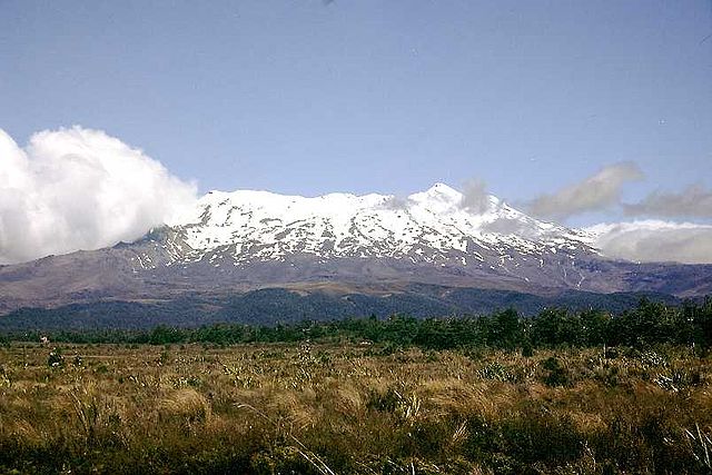
Mount Ruapehu, January 2002.
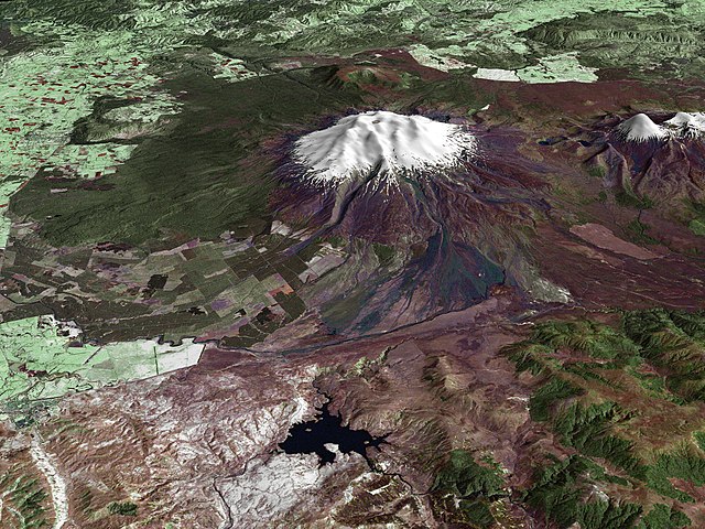
A composite satellite image looking west across Ruapehu, with the older eroded volcano Hauhungatahi visible behind it, and the cone of Ngauruhoe visible to the right.
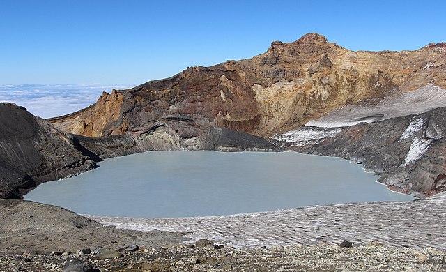
Crater Lake and Tahurangi, the highest peak (top right) in 2016. The 1996 tephra dam is the bluish dark area at lake edge directly below Tahurangi.
Taupō Volcanic Zone
Videos
Page
The Taupō Volcanic Zone (TVZ) is a volcanic area in the North Island of New Zealand that has been active for at least the past two million years and is still highly active.
Mount Ruapehu marks its south-western end and the zone runs north-eastward through the Taupō and Rotorua areas and offshore into the Bay of Plenty. It is part of a larger Central Volcanic Region that extends to the Coromandel Peninsula and has been active for four million years. The zone is contained within the tectonic intra-arc continental Taupō Rift and this rift volcanic zone is widening unevenly east–west with the greatest rate of widening at the Bay of Plenty coast, the least at Mount Ruapehu and a rate of about 8 mm (0.31 in) per year at Taupō. The zone is named after Lake Taupō, the flooded caldera of the largest volcano in the zone, the Taupō Volcano and contains a large central volcanic plateau as well as other landforms.
Mount Ngauruhoe
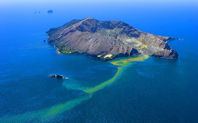
Whakaari / White Island

Lady Knox Geyser, Waiotapu geothermal area
In 1886, Mount Tarawera produced New Zealand's largest historic eruption since European colonisation