Mount St. Helens National Volcanic Monument
Videos
Page
Mount St. Helens National Volcanic Monument is a U.S. National Monument that includes the area around Mount St. Helens in Cowlitz and Skamania Counties, Washington. It was established on August 27, 1982, by U.S. President Ronald Reagan, following the 1980 eruption. The 110,000 acre (445 km2) National Volcanic Monument was set aside for research, recreation, and education. Inside the monument, the environment is left to respond naturally to the disturbance. It was the third national monument to be managed by the U.S. Forest Service.

Mount St. Helens from the Johnston Ridge Observatory (July 2018)
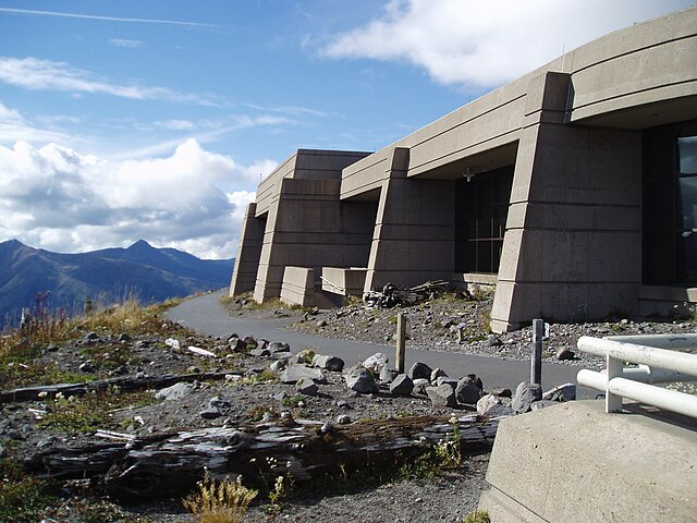
Johnston Ridge Observatory

The "Meatball", a lava ball wedged in a ceiling channel. Lava balls form around smaller rocks that roll along in lava flows.
Mount St. Helens
Videos
Page
Mount St. Helens is an active stratovolcano located in Skamania County, Washington, in the Pacific Northwest region of the United States. It lies 52 miles (83 km) northeast of Portland, Oregon, and 98 miles (158 km) south of Seattle. Mount St. Helens takes its English name from that of the British diplomat Alleyne Fitzherbert, 1st Baron St Helens, a friend of explorer George Vancouver who surveyed the area in the late 18th century. The volcano is part of the Cascade Volcanic Arc, a segment of the Pacific Ring of Fire.
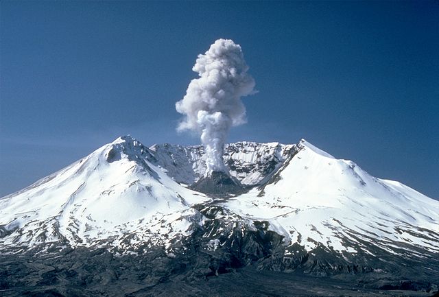
3,000 ft (0.9 km) high steam plume on May 19, 1982, two years after the 1980 major eruption
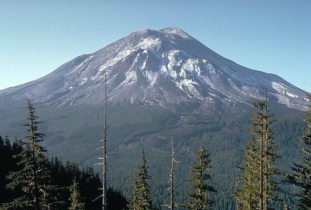
Mount St. Helens pictured the day before the 1980 eruption, which removed much of the northern face of the mountain, leaving a large crater

East Dome on the east flank of Mount St. Helens in 2013.

The symmetrical appearance of St. Helens prior to the 1980 eruption earned it the nickname "Mount Fuji of America". The once-familiar shape was formed out of the Kalama and Goat Rocks eruptive periods.