The city of Atlanta, Georgia is made up of 243 neighborhoods officially defined by the city. These neighborhoods are a mix of traditional neighborhoods, subdivisions, or groups of subdivisions. The neighborhoods are grouped by the city planning department into 25 neighborhood planning units (NPUs). These NPUs are "citizen advisory councils that make recommendations to the Mayor and City Council on zoning, land use, and other planning issues". There are a variety of other widely recognized named areas within the city. Some are officially designated, while others are more informal.
Neighborhoods of Intown Atlanta
Neighborhoods of Southeast Atlanta
Southwest Atlanta
Northwest Atlanta
Atlanta is the capital and most populous city in the U.S. state of Georgia. It is the seat of Fulton County, and a portion of the city extends into neighboring DeKalb County. With a population of 498,715 living within the city limits, Atlanta is the eighth most populous city in the Southeast and 38th most populous city in the United States according to the 2020 U.S. census. It is the core of the much larger Atlanta metropolitan area, which is home to more than 6.3 million people, making it the sixth-largest U.S. metropolitan area. Situated among the foothills of the Appalachian Mountains at an elevation of just over 1,000 feet (300 m) above sea level, Atlanta features unique topography that includes rolling hills, lush greenery, and the densest urban tree coverage of any major city in the United States.
Image: Atlanta cityscape
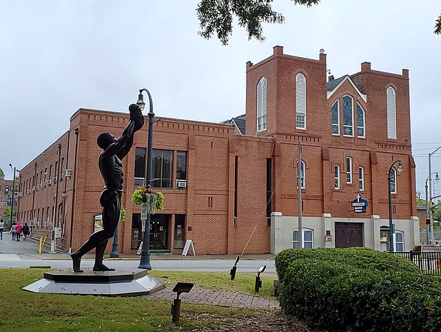
Image: Behold statue & Ebenezer Baptist Church 2
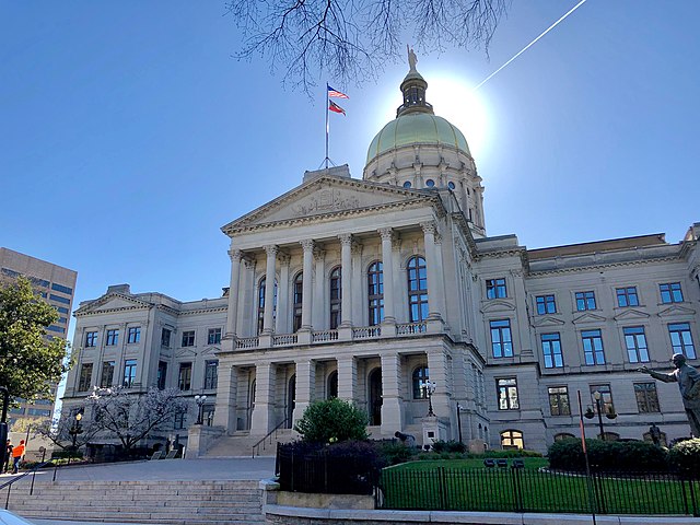
Image: Georgia State Capitol, Atlanta, GA (47421890312)
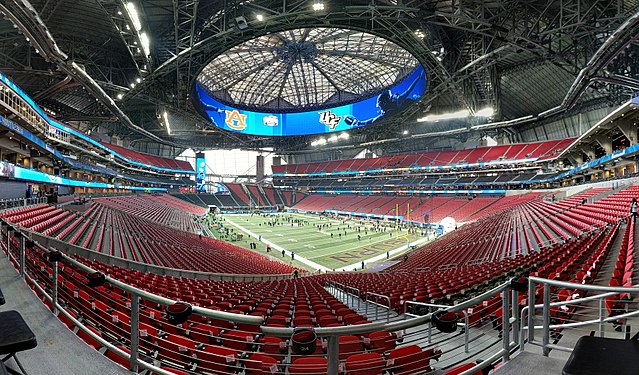
Image: Peach Bowl Pre game (27654674649)