Nevada State Route 160
Videos
Page
State Route 160 is a state highway in southern Nevada, United States. It connects the southern Las Vegas Valley to U.S. Route 95 northwest of the city via the Pahrump Valley. The southern part of the route sees heavy traffic, mostly due to Pahrump's continued growth as a Las Vegas bedroom community.

View from the north end of SR 160 looking southbound in 2015

Red Rock Canyon National Conservation Area from SR 160, west of Blue Diamond in 2011

SR 160 between Las Vegas and Mountain Springs in 2008

SR 160 as divided highway between Mountain Springs and Pahrump in 2008
Las Vegas Valley
Videos
Page
The Las Vegas Valley is a major metropolitan area in the southern part of the U.S. state of Nevada, and the second largest in the Southwestern United States. The state's largest urban agglomeration, the Las Vegas Metropolitan Statistical Area is coextensive since 2003 with Clark County, Nevada. The Valley is largely defined by the Las Vegas Valley landform, a 600 sq mi (1,600 km2) basin area surrounded by mountains to the north, south, east and west of the metropolitan area. The Valley is home to the three largest incorporated cities in Nevada: Las Vegas, Henderson and North Las Vegas. Eleven unincorporated towns governed by the Clark County government are part of the Las Vegas Township and constitute the largest community in the state of Nevada.
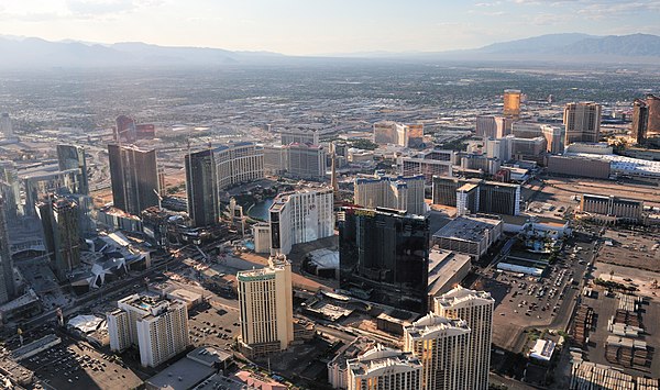
Image: View of Las Vegas' strip from the helicopter
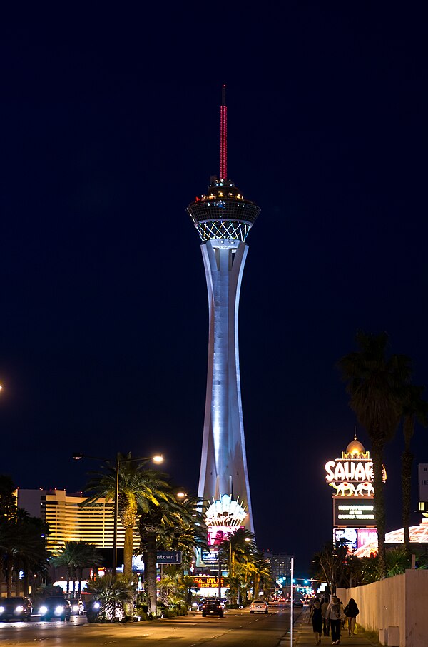
Image: Stratosphere Las Vegas 5

Image: Fremont Street 6

Image: Mandarin Oriental, Las Vegas (3)