New Jersey Route 38
Videos
Page
Route 38 is a state highway in the southern part of the U.S. state of New Jersey serving the Philadelphia metropolitan area. It extends 19.19 mi (30.88 km) from the Airport Circle, where it intersects U.S. Route 30 and US 130, in Pennsauken Township, Camden County, east to an intersection with US 206 and CR 530 in Southampton Township, Burlington County. The entire route is closely parallel to CR 537 located to the north, being only one block away at places. The route is a multilane divided highway for most of its length and passes through commercial development, residential development, and some farmland.

Route 38 eastbound past CR 626 in Cherry Hill

View west at the east end of Route 38 at US 206 and CR 530 in Southampton Township
Route 38 in Cherry Hill looking east
U.S. Route 30 in New Jersey
Videos
Page
U.S. Route 30 is a U.S. highway running from Astoria, Oregon east to Atlantic City, New Jersey. In the U.S. state of New Jersey, US 30 runs 58.26 miles (93.76 km) from the Benjamin Franklin Bridge at the Delaware River in Camden, Camden County, while concurrent with Interstate 676 (I-676), southeast to Virginia Avenue in Atlantic City, Atlantic County. Most of the route in New Jersey is known as the White Horse Pike and is four lanes wide. The road runs through mostly developed areas in Camden County, with surroundings becoming more rural as the road approaches Atlantic County. US 30 runs through several towns including Collingswood, Berlin, Hammonton, Egg Harbor City, and Absecon.
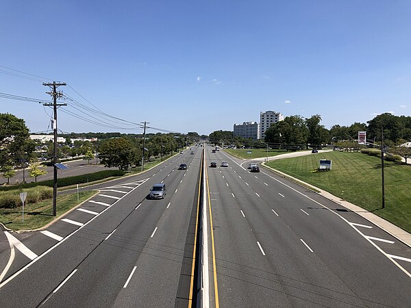
US 30 eastbound on the Admiral Wilson Boulevard approaching US 130 and Route 38 at the Airport Circle in Pennsauken Township

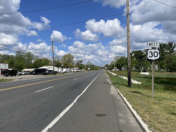
US 30 westbound past CR 669 in Magnolia
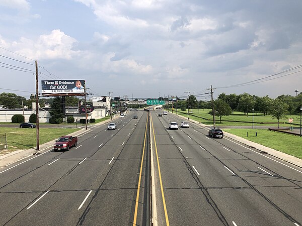
US 30 westbound past CR 542 in Hammonton
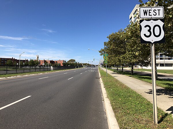
US 30 westbound just west of the eastern terminus in Atlantic City